


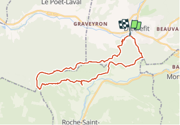

17,3 km | 31 km-effort

Utilisateur


Application GPS de randonnée GRATUITE
 SityTrail
IGN / Instituts géographiques
SityTrail World
Le monde est à vous
Randonnée Marche de 18,5 km à découvrir à Auvergne-Rhône-Alpes, Drôme, Dieulefit. Cette randonnée est proposée par ajd26.
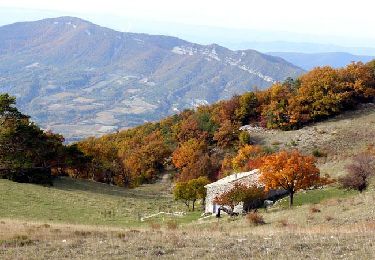
départ de Dieulefit, col gorge de l'Ane, mont Rachas et retour par le versant sud jolis panoramas à partir du col gorge d'Ane
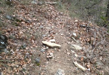
le retour par le col de la Ruche se fait en sous bois (peu d'interet)


A pied

Marche

Marche

Marche

Marche
Marche

Marche
Marche

Marche