


10,6 km | 19,3 km-effort

Utilisateur


Application GPS de randonnée GRATUITE
 SityTrail
IGN / Instituts géographiques
SityTrail World
Le monde est à vous
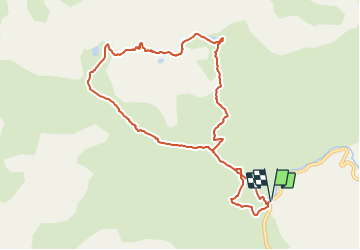
Randonnée Marche de 10,3 km à découvrir à Nouvelle-Aquitaine, Pyrénées-Atlantiques, Laruns. Cette randonnée est proposée par tracegps.
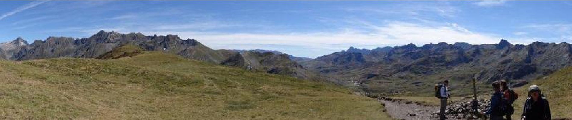
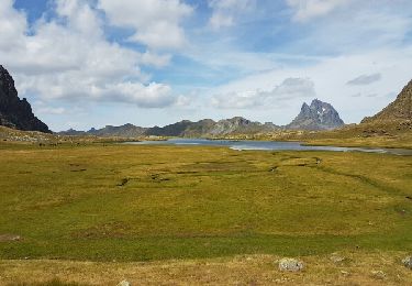
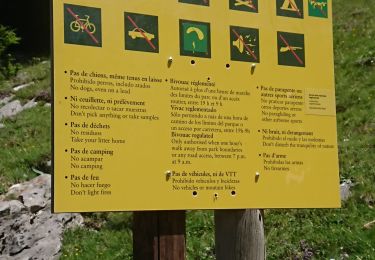
Départ du parking de l'Araille avant le col du Pourtalet. Après la cabane de Senescau on quitte le chemin du Col de Soum de Pombie, pour cheminer dans des estives et rejoindre le sentier qui passe au col de l'Iou. On descend sur le lac de Peyreget avant d'attaquer la rude montée, en partie sur des éboulis rocheux, vers le col de Peyreget. Une variante est possible du col pour monter au Pic Peyreget: compter 45 mn A/R et 160m de dénivelée supplémentaire. On redescend ensuite sur le refuge de Pombie au pied de l'Ossau. Retour au parking en passant par le Soum de Pombie.


Marche

Marche

Marche

A pied
Marche

Marche

Marche
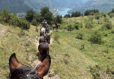
Randonnée équestre
Marche