
Tour de Ploemel - Ploemel

tracegps
Utilisateur

Longueur
16,2 km

Altitude max
42 m

Dénivelé positif
125 m

Km-Effort
17,8 km

Altitude min
17 m

Dénivelé négatif
124 m
Boucle
Oui
Date de création :
2014-12-10 00:00:00.0
Dernière modification :
2014-12-10 00:00:00.0
3h30
Difficulté : Moyen

Application GPS de randonnée GRATUITE
À propos
Randonnée Marche de 16,2 km à découvrir à Bretagne, Morbihan, Ploemel. Cette randonnée est proposée par tracegps.
Description
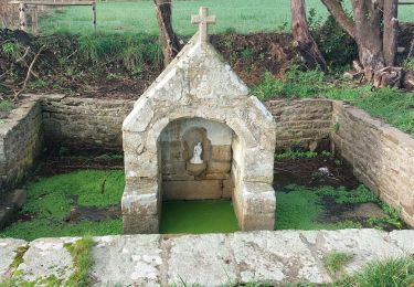
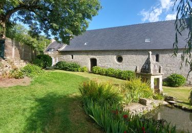
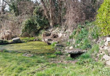
Parcours essentiellement en sous-bois qui fait une boucle autour de Ploemel et de St Laurent. On croise quelques chapelles, croix du 1er siècle.
Localisation
Pays :
France
Région :
Bretagne
Département/Province :
Morbihan
Commune :
Ploemel
Localité :
Unknown
Départ:(Dec)
Départ:(UTM)
494566 ; 5277481 (30T) N.
Commentaires
Randonnées à proximité

Ploemel stirwen


Course à pied
Moyen
(3)
Ploemel,
Bretagne,
Morbihan,
France

9 km | 10,1 km-effort
1h 40min
Oui

Ploemel Kaer gaer


Marche
Moyen
(1)
Ploemel,
Bretagne,
Morbihan,
France

9,1 km | 10,1 km-effort
1h 45min
Oui

Circuit des Abbayes


A pied
Facile
Plouharnel,
Bretagne,
Morbihan,
France

8 km | 8,7 km-effort
1h 58min
Oui

Ty Bocquet 19-11-16 .


Autre activité
Très facile
(1)
Ploemel,
Bretagne,
Morbihan,
France

5,1 km | 5,5 km-effort
57min
Oui

PR_56_Locoal-Mendon_AA_01_Circuit1b_Ty-Er-Chir-Kernous_20240107


Marche
Facile
Locoal-Mendon,
Bretagne,
Morbihan,
France

7,8 km | 8,9 km-effort
1h 46min
Oui

PR_56_Ploemel_BA_02_Circuit1b_Chapelles-Et-Fontaines_20230810


Marche
Très facile
Ploemel,
Bretagne,
Morbihan,
France

10,3 km | 11,3 km-effort
2h 2min
Oui

PR_56_Ploemel_AA_01_Circuit1b_Tro-Plenuer_20230806


Marche
Moyen
Ploemel,
Bretagne,
Morbihan,
France

7,6 km | 8,5 km-effort
1h 55min
Oui

Kerhelkegant,Sainte Barbe,mer


Marche
Très facile
Plouharnel,
Bretagne,
Morbihan,
France

8,3 km | 9 km-effort
1h 57min
Oui

PR_56_Plouharnel_BA_02_Circuit1b_Crucuno_20230303


Marche
Très facile
Plouharnel,
Bretagne,
Morbihan,
France

8,7 km | 9,4 km-effort
2h 1min
Oui


 SityTrail


