


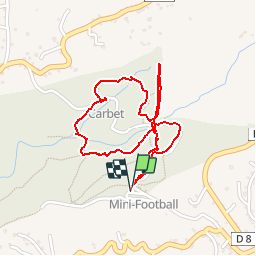

10,8 km | 13,3 km-effort


Utilisateur


Application GPS de randonnée GRATUITE
 SityTrail
IGN / Instituts géographiques
SityTrail World
Le monde est à vous
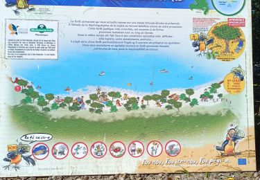
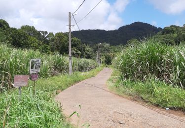
Randonnée Marche de 3 km à découvrir à Martinique, Inconnu, Sainte-Luce. Cette randonnée est proposée par tracegps.
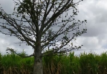
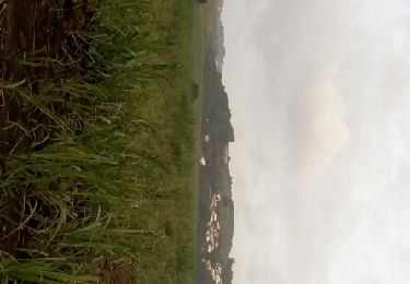
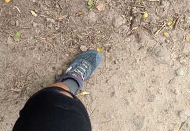
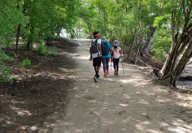
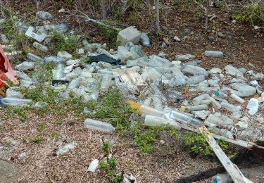
Circuit bien agréable et relativement facile pour débuter à randonner à la Martinique. Attention toutefois car en cas de pluie le terrain peut-être très glissant.
Marche
Marche
Marche
Marche
Marche
Marche
Marche
Marche
Marche