

Forêt de Montravail

tracegps
Utilisateur

Longueur
3 km

Altitude max
318 m

Dénivelé positif
94 m

Km-Effort
4,2 km

Altitude min
232 m

Dénivelé négatif
96 m
Boucle
Oui
Date de création :
2016-03-09 00:00:00.0
Dernière modification :
2016-03-09 00:00:00.0
2h15
Difficulté : Moyen

Application GPS de randonnée GRATUITE
À propos
Randonnée Marche de 3 km à découvrir à Martinique, Inconnu, Sainte-Luce. Cette randonnée est proposée par tracegps.
Description
Circuit bien agréable et relativement facile pour débuter à randonner à la Martinique. Attention toutefois car en cas de pluie le terrain peut-être très glissant.
Localisation
Pays :
France
Région :
Martinique
Département/Province :
Inconnu
Commune :
Sainte-Luce
Localité :
Unknown
Départ:(Dec)
Départ:(UTM)
723097 ; 1603724 (20P) N.
Commentaires
Randonnées à proximité
GabyG Trénelle/Ravine chien/petit Bourg/Trénelle


Marche
Moyen
(1)
Rivière-Salée,
Martinique,
Inconnu,
France

10,8 km | 13,3 km-effort
2h 50min
Oui

GabyG Trénelle/ la Palun.


Marche
Très facile
(1)
Rivière-Salée,
Martinique,
Inconnu,
France

7,9 km | 9,2 km-effort
1h 15min
Oui
Plage de Ste Luce, parcours santé


Marche
Facile
Sainte-Luce,
Martinique,
Inconnu,
France

3,9 km | 4,4 km-effort
1h 1min
Non
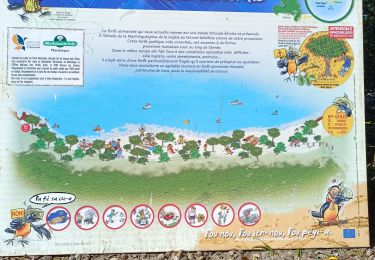
plages du littoral de ste Luce


Marche
Moyen
Sainte-Luce,
Martinique,
Inconnu,
France

5,7 km | 6,3 km-effort
1h 20min
Oui

Escapade sur la cote rocheuses de pointe Borgnèse.


Marche
Moyen
(2)
Rivière-Pilote,
Martinique,
Inconnu,
France

5,7 km | 6,7 km-effort
3h 33min
Oui
La grande aventure, pointe borgnes, petite poterie et Anse figuier


Marche
Moyen
Le Marin,
Martinique,
Inconnu,
France

5,4 km | 6,4 km-effort
2h 48min
Oui
Boucle Corps de Garde


Marche
Facile
Sainte-Luce,
Martinique,
Inconnu,
France

5,2 km | 5,8 km-effort
2h 14min
Oui
Anse Figuier - Petite Poterie


Marche
Moyen
Rivière-Pilote,
Martinique,
Inconnu,
France

3,6 km | 4,1 km-effort
4h 56min
Non
Boucle La Mauny via Morne Vent


Marche
Difficile
Rivière-Pilote,
Martinique,
Inconnu,
France

10,7 km | 16,4 km-effort
4h 0min
Oui


 SityTrail


