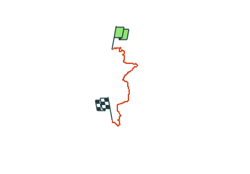
![](/images/other/stat-length.png)
![Randonnée Marche Boutigny-sur-Essonne - De Boutigny sur Essonne à Boigneville par le Bois de Malabri - Photo](https://media.geolcdn.com/t/1900/400/ext.pjpeg?maxdim=2&url=https%3A%2F%2Fservices.sitytrail.com%2FGeolivesWS%2FDownloadMedia.ashx%3FTrailID%3D316710%26Media%3D4358_1.jpg)
De Boutigny sur Essonne à Boigneville par le Bois de Malabri
tracegps
Utilisateur
![Longueur](/images/other/stat-length.png)
![Altitude max](https://static1.geolcdn.com/siteimages/upload/files/1508320355ic_sort_altitude_max_24dp.png)
![Dénivelé positif](https://static1.geolcdn.com/siteimages/upload/files/1508320355ic_sort_den_pos_24dp.png)
![Km-Effort](/images/other/stat-length.png)
![Altitude min](https://static1.geolcdn.com/siteimages/upload/files/1508320355ic_sort_altitude_min_24dp.png)
![Dénivelé négatif](https://static1.geolcdn.com/siteimages/upload/files/1508320355ic_sort_den_neg_24dp.png)
![Boucle](https://static1.geolcdn.com/siteimages/upload/files/16400158638029165_repeat_loop_refresh_sync_direction_icon.png)
![Marche](https://static1.geolcdn.com/sitytour/trail-icons/101.png)
5h00
Difficulté : Difficile
![Scannez ce code QR pour ouvrir la randonnée dans l'application SityTrail](https://capi.geolives.com/qq0zvz2zws4bq2lad0pu/sitytour/trails/316710/qr.png?size=200)
Application GPS de randonnée GRATUITE
À propos
Randonnée Marche de 21 km à découvrir à Île-de-France, Essonne, Boutigny-sur-Essonne. Cette randonnée est proposée par tracegps.
Description
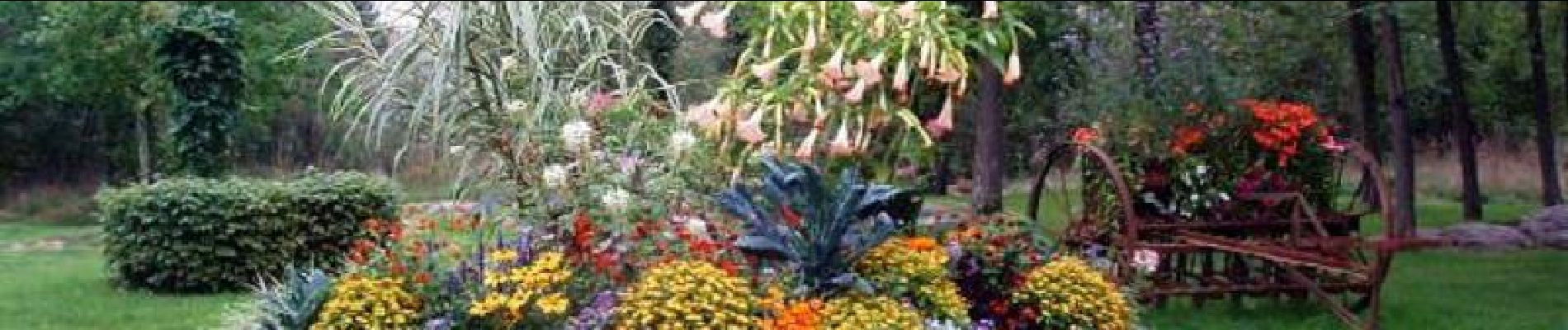
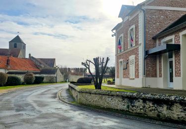
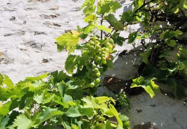
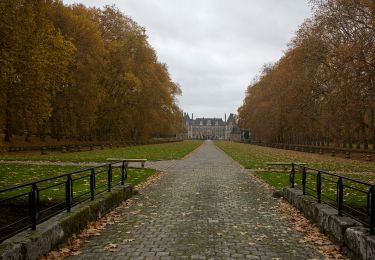
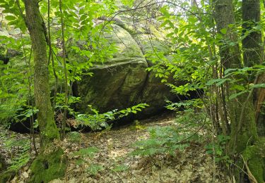
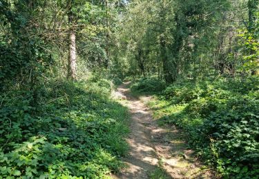
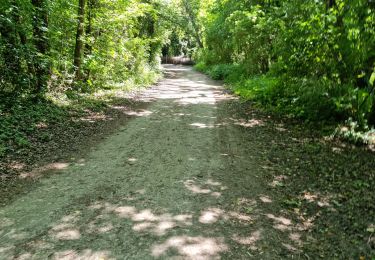
Les bois autour de Milly la Forêt sont riches en promenades avec des paysages variés et vallonnés. Les bois de Malabri et Saint Eloy prolongent les espaces boisés de Fontainebleau sur leur partie orientale: pins et bouleaux sur les reliefs qui environnent les villages. La roche ici a servi de polissoir préhistorique à Buno-Bonnevaux.
Localisation
Commentaires
Randonnées à proximité
![Randonnée Marche Vayres-sur-Essonne - Boucle 22 km Boutigny Vayres Courdimanche - Photo](https://media.geolcdn.com/t/375/260/4b667bc1-98a4-484c-a9ef-d48797f8b1d6.jpg&format=jpg&maxdim=2)
![Marche Marche](https://static1.geolcdn.com/sitytour/trail-icons/101.png)
Marche
![](/images/other/stat-length.png)
![](https://static1.geolcdn.com/siteimages/upload/files/16400158638029165_repeat_loop_refresh_sync_direction_icon.png)
![Randonnée Marche Vayres-sur-Essonne - Boucle 30 km à partir de Vayres / Essonne - Photo](https://media.geolcdn.com/t/375/260/99723d7b-eef1-42c9-a80a-6ef415a50d61.jpg&format=jpg&maxdim=2)
![Marche Marche](https://static1.geolcdn.com/sitytour/trail-icons/101.png)
Marche
![](/images/other/stat-length.png)
![](https://static1.geolcdn.com/siteimages/upload/files/16400158638029165_repeat_loop_refresh_sync_direction_icon.png)
![Randonnée Marche La Ferté-Alais - Boucle Cerny - Photo](https://media.geolcdn.com/t/375/260/562ec7de-aba0-410b-b341-a4b4bf98c65c.jpg&format=jpg&maxdim=2)
![Marche Marche](https://static1.geolcdn.com/sitytour/trail-icons/101.png)
Marche
![](/images/other/stat-length.png)
![](https://static1.geolcdn.com/siteimages/upload/files/16400158638029165_repeat_loop_refresh_sync_direction_icon.png)
![Randonnée Marche Boutigny-sur-Essonne - Le tour du Grand Paris via le GR1 Etape 16 Boutigny /essonne - Lardy - Photo](https://media.geolcdn.com/t/375/260/120031b3-84d9-4df8-a3d3-f842b8d2e855.jpg&format=jpg&maxdim=2)
![Marche Marche](https://static1.geolcdn.com/sitytour/trail-icons/101.png)
Marche
![](/images/other/stat-length.png)
![](https://static1.geolcdn.com/siteimages/upload/files/16400158638029165_repeat_loop_refresh_sync_direction_icon.png)
![Randonnée A pied Moigny-sur-École - Chemin des Grés et des Bruyères - Photo](https://media.geolcdn.com/t/375/260/7d52c13c-a415-4d03-a2ce-e27aab816b4f.jpeg&format=jpg&maxdim=2)
![A pied A pied](https://static1.geolcdn.com/sitytour/trail-icons/100.png)
A pied
![](/images/other/stat-length.png)
![](https://static1.geolcdn.com/siteimages/upload/files/16400158638029165_repeat_loop_refresh_sync_direction_icon.png)
![Randonnée Marche Maisse - Maisse - Forêt communale de Milly-la-Forêt - Photo](https://media.geolcdn.com/t/375/260/ac13d570-05a3-405f-b57f-b7a0251ed338.jpg&format=jpg&maxdim=2)
![Marche Marche](https://static1.geolcdn.com/sitytour/trail-icons/101.png)
Marche
![](/images/other/stat-length.png)
![](https://static1.geolcdn.com/siteimages/upload/files/16400158638029165_repeat_loop_refresh_sync_direction_icon.png)
![Randonnée Marche Videlles - Videlles - Exploration d'un chaos rocheux au hameau](https://media.geolcdn.com/t/375/260/28cf3a42-58a0-4885-b69e-366feb563ae7.jpg&format=jpg&maxdim=2)
![Marche Marche](https://static1.geolcdn.com/sitytour/trail-icons/101.png)
Marche
![](/images/other/stat-length.png)
![](https://static1.geolcdn.com/siteimages/upload/files/16400158638029165_repeat_loop_refresh_sync_direction_icon.png)
![Randonnée Marche Moigny-sur-École - Moigny-sur-École - Photo](https://media.geolcdn.com/t/375/260/e39b79dd-0698-47d1-a993-eeec2e342c98.jpg&format=jpg&maxdim=2)
![Marche Marche](https://static1.geolcdn.com/sitytour/trail-icons/101.png)
Marche
![](/images/other/stat-length.png)
![](https://static1.geolcdn.com/siteimages/upload/files/16400158638029165_repeat_loop_refresh_sync_direction_icon.png)
![Randonnée Marche Boutigny-sur-Essonne - Boutigny-sur-Essonne - Photo](https://media.geolcdn.com/t/375/260/35e7e1a4-0e81-4101-ba61-582eb9cd50f0.jpg&format=jpg&maxdim=2)
![Marche Marche](https://static1.geolcdn.com/sitytour/trail-icons/101.png)
Marche
![](/images/other/stat-length.png)
![](https://static1.geolcdn.com/siteimages/upload/files/16400158638029165_repeat_loop_refresh_sync_direction_icon.png)