


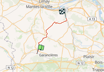

19,6 km | 22 km-effort

Utilisateur


Application GPS de randonnée GRATUITE
 SityTrail
IGN / Instituts géographiques
SityTrail World
Le monde est à vous
Randonnée Marche de 22 km à découvrir à Île-de-France, Yvelines, Orgerus. Cette randonnée est proposée par tracegps.
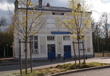
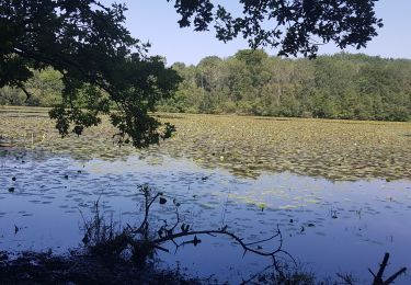
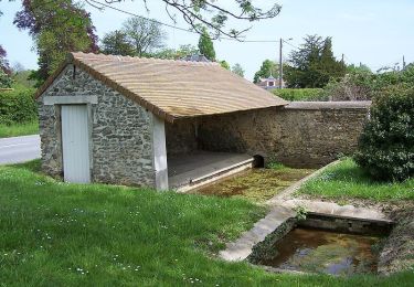
Départ gare d'Orgerus, arrivée gare de Nezel Aulnay. De la rivière La Flexanville, on parcourt le plateau du Mantois avant de rejoindre la vallée de la Mauldre.


V.T.T.
Marche
Marche
Marche

Marche
Marche

V.T.T.
Marche
Marche