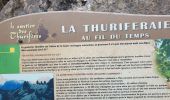

St Crépin Thurifère vers hameau de Guion Chantal

damlou
Utilisateur

Longueur
5 km

Altitude max
1292 m

Dénivelé positif
369 m

Km-Effort
9,9 km

Altitude min
916 m

Dénivelé négatif
370 m
Boucle
Oui
Date de création :
2022-03-11 08:32:18.84
Dernière modification :
2022-03-11 11:53:25.286
2h30
Difficulté : Difficile

Application GPS de randonnée GRATUITE
À propos
Randonnée Marche de 5 km à découvrir à Provence-Alpes-Côte d'Azur, Hautes-Alpes, Saint-Crépin. Cette randonnée est proposée par damlou.
Description
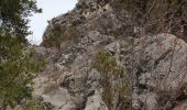
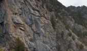
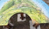
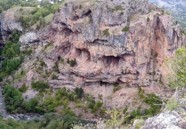
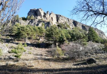
lein Sud flan paroi très chd été à faire Mars Avril ou Novembre
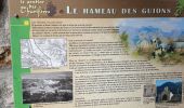
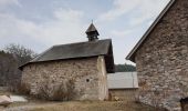
Montée jusqu'au hameau
Descente raide attention vertige
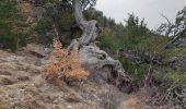
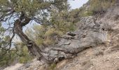
Très jolis genévriers tt le lg
Localisation
Pays :
France
Région :
Provence-Alpes-Côte d'Azur
Département/Province :
Hautes-Alpes
Commune :
Saint-Crépin
Localité :
Unknown
Départ:(Dec)
Départ:(UTM)
310409 ; 4953327 (32T) N.
Commentaires
Randonnées à proximité
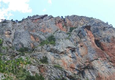
Crête en bordure vallée Freissinieres (Rortie)


Marche
Moyen
(2)
Freissinières,
Provence-Alpes-Côte d'Azur,
Hautes-Alpes,
France

14,7 km | 26 km-effort
4h 52min
Oui
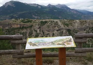
Rue des Masques


Marche
Très facile
(1)
Guillestre,
Provence-Alpes-Côte d'Azur,
Hautes-Alpes,
France

5,1 km | 7,9 km-effort
1h 47min
Oui
crots les Girars


Marche
Moyen
(1)
Eygliers,
Provence-Alpes-Côte d'Azur,
Hautes-Alpes,
France

10,2 km | 16,9 km-effort
3h 41min
Oui
Gouffre de Gourfouran


Marche
Facile
(2)
Champcella,
Provence-Alpes-Côte d'Azur,
Hautes-Alpes,
France

5,1 km | 8,1 km-effort
2h 2min
Oui
FRESSINIERES - SEYES 16.3KM


Marche
Moyen
(1)
Champcella,
Provence-Alpes-Côte d'Azur,
Hautes-Alpes,
France

16,3 km | 28 km-effort
5h 44min
Oui
eygliers


Marche
Moyen
Eygliers,
Provence-Alpes-Côte d'Azur,
Hautes-Alpes,
France

6,3 km | 9 km-effort
2h 7min
Oui
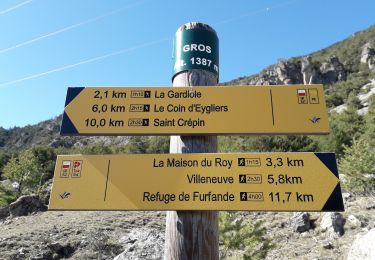
Gros cabannes Tourouder


Marche
Moyen
Eygliers,
Provence-Alpes-Côte d'Azur,
Hautes-Alpes,
France

14,7 km | 27 km-effort
4h 32min
Oui
2020-09-10 Balade Gouffre du Gourfouran


Marche
Très facile
Champcella,
Provence-Alpes-Côte d'Azur,
Hautes-Alpes,
France

4,8 km | 7,8 km-effort
1h 14min
Oui
MONT DAUPHIN tour et main du Titan


Marche
Facile
Eygliers,
Provence-Alpes-Côte d'Azur,
Hautes-Alpes,
France

8,1 km | 11,6 km-effort
2h 5min
Oui


 SityTrail


