


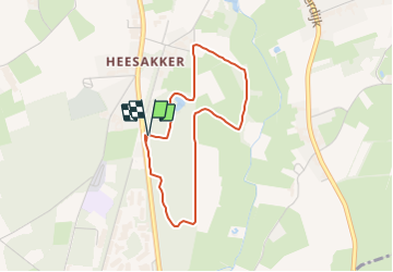

8,1 km | 8,9 km-effort


Tous les sentiers balisés d’Europe GUIDE+


Application GPS de randonnée GRATUITE
 SityTrail
IGN / Instituts géographiques
SityTrail World
Le monde est à vous
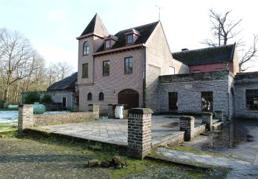
Randonnée A pied de 3,1 km à découvrir à Flandre, Limbourg, Pelt. Cette randonnée est proposée par SityTrail - itinéraires balisés pédestres.
Bosland is overdadig genieten van verrassende natuur, elke dag weer een beetje anders. Voor kinderen is Bosland één groots avonturenbos: ravotten in de...
A pied
A pied
A pied
A pied
A pied
A pied
A pied
A pied
A pied