


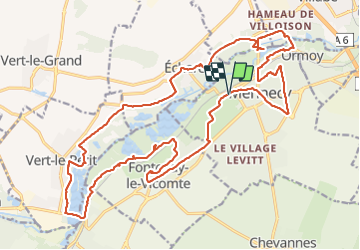

16 km | 17,9 km-effort


Utilisateur GUIDE


Application GPS de randonnée GRATUITE
 SityTrail
IGN / Instituts géographiques
SityTrail World
Le monde est à vous
Randonnée A pied de 27 km à découvrir à Île-de-France, Essonne, Mennecy. Cette randonnée est proposée par chessyca.
Rando menée par Jean Marc.
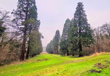
Au fil de l'eau avec les étangs et marais d'Echarcon, L'aqueduc de la Vanne, etc...
Très agréable en cette saison ( pas de moustiques)


Marche
A pied
Marche
Marche

Marche

A pied

A pied

Marche

V.T.T.