


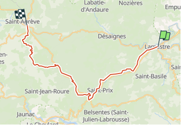

17,7 km | 26 km-effort


Utilisateur


Application GPS de randonnée GRATUITE
 SityTrail
IGN / Instituts géographiques
SityTrail World
Le monde est à vous
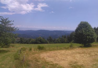
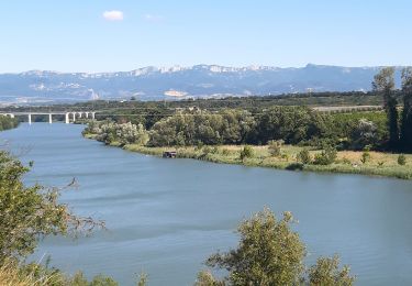
Randonnée Marche de 27 km à découvrir à Auvergne-Rhône-Alpes, Ardèche, Lamastre. Cette randonnée est proposée par pol7.
Départ sur la Dolce Via , puis des Nonières aux Barraques belle grimpette. Bel entrainement et paysages très variés.

sport
sport

Marche

Marche
Marche
Marche
Marche

Randonnée équestre
Vélo électrique