


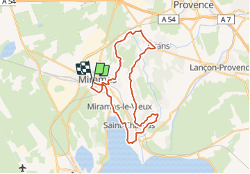

14,4 km | 18 km-effort


Utilisateur


Application GPS de randonnée GRATUITE
 SityTrail
IGN / Instituts géographiques
SityTrail World
Le monde est à vous
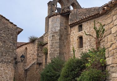
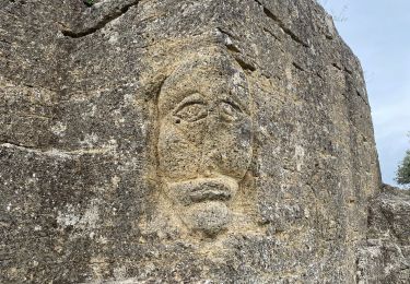
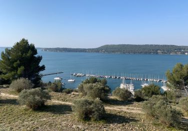
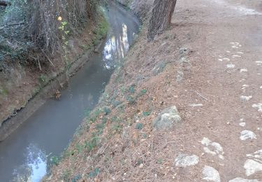
Randonnée de 32 km à découvrir à Provence-Alpes-Côte d'Azur, Bouches-du-Rhône, Miramas. Cette randonnée est proposée par 001284.9d5679bdaba349dfad84fbabe315a70d.1947.
Marche
Marche

V.T.T.
Marche
Marche
Marche
Marche
Marche

Marche