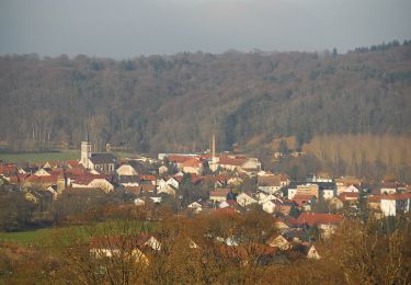
11,4 km | 16,5 km-effort
GLAY CHRISTIAN
klopbill
Utilisateur
Longueur
14,1 km
Altitude max
686 m
Dénivelé positif
456 m
Km-Effort
20 km
Altitude min
392 m
Dénivelé négatif
453 m
Boucle
Non
Date de création :
2022-03-03 09:33:45.404
Dernière modification :
2022-03-03 16:27:44.17
3h45
Difficulté : Facile
Application GPS de randonnée GRATUITE
À propos
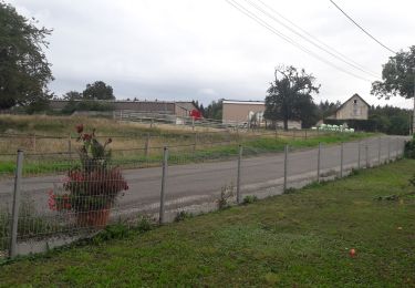
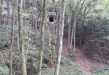
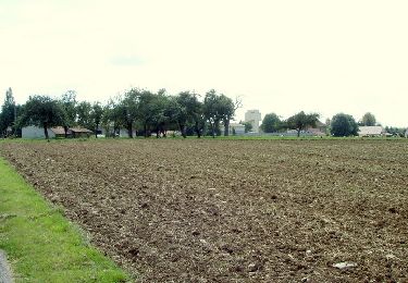
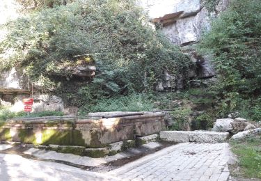
Randonnée Marche de 14,1 km à découvrir à Bourgogne-Franche-Comté, Doubs, Glay. Cette randonnée est proposée par klopbill.
Localisation
Pays :
France
Région :
Bourgogne-Franche-Comté
Département/Province :
Doubs
Commune :
Glay
Localité :
Unknown
Départ:(Dec)
Départ:(UTM)
340791 ; 5252403 (32T) N.
Commentaires
Randonnées à proximité
2019.09.06.Roches
Marche
Très facile
Roches-lès-Blamont,
Bourgogne-Franche-Comté,
Doubs,
France
3h 12min
Oui
2019.09.05.Roches
Marche
Très facile
Roches-lès-Blamont,
Bourgogne-Franche-Comté,
Doubs,
France
10,8 km | 14,7 km-effort
2h 38min
Oui
dans le lomont et la frontière franco suisse
V.T.T.
Difficile
Pierrefontaine-lès-Blamont,
Bourgogne-Franche-Comté,
Doubs,
France
42 km | 59 km-effort
4h 38min
Oui
Circuit de Croix
Marche
Facile
Abbévillers,
Bourgogne-Franche-Comté,
Doubs,
France
6,7 km | 8,1 km-effort
1h 40min
Oui
2019.09.04.Roches
Marche
Très facile
Roches-lès-Blamont,
Bourgogne-Franche-Comté,
Doubs,
France
9,6 km | 12,9 km-effort
2h 31min
Oui
Randonnée autour de Mandeure
V.T.T.
Moyen
Mandeure,
Bourgogne-Franche-Comté,
Doubs,
France
25 km | 32 km-effort
2h 0min
Non
Ajoie - unbekanntes Grenzland zu Frankreich
Marche
Très facile
(1)
Haute-Ajoie,
Jura,
District de Porrentruy,
Suisse
14,3 km | 19,6 km-effort
6h 54min
Non
sentier des bornes Blamont
Marche
Très difficile
Blamont,
Bourgogne-Franche-Comté,
Doubs,
France
20 km | 29 km-effort
5h 22min
Oui
Circuit d ' Hérimoncourt
Marche
Très difficile
Hérimoncourt,
Bourgogne-Franche-Comté,
Doubs,
France
16,9 km | 25 km-effort
5h 43min
Oui