


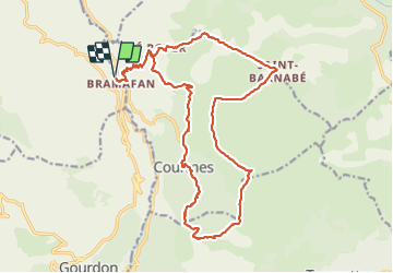


7,2 km | 11,2 km-effort

Utilisateur


Application GPS de randonnée GRATUITE
 SityTrail
IGN / Instituts géographiques
SityTrail World
Le monde est à vous
Randonnée Marche de 24 km à découvrir à Provence-Alpes-Côte d'Azur, Alpes-Maritimes, Courmes. Cette randonnée est proposée par ETMU5496.
Puy de Tourettes et col de Courmettes


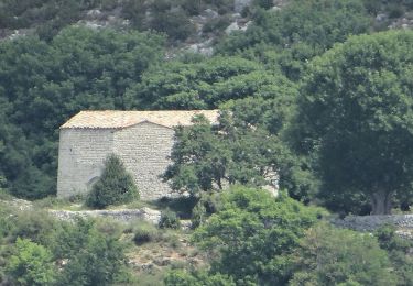
32 photos au total. Cliquez sur une photo pour les afficher toutes dans la galerie.

Marche

Marche

A pied

A pied

A pied

A pied
A pied

A pied

A pied