50 km | 60 km-effort
Martincourt - St Jean
jean-marie.parachini
Utilisateur
Longueur
11,9 km
Altitude max
316 m
Dénivelé positif
207 m
Km-Effort
14,7 km
Altitude min
218 m
Dénivelé négatif
208 m
Boucle
Oui
Date de création :
2022-03-01 12:30:59.129
Dernière modification :
2022-03-01 16:32:07.352
4h00
Difficulté : Facile
Application GPS de randonnée GRATUITE
À propos
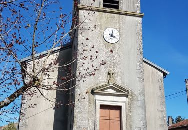
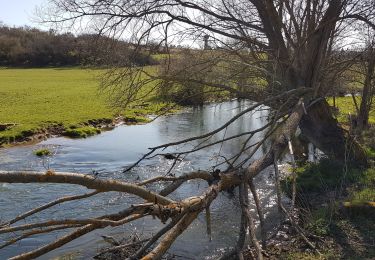
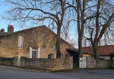
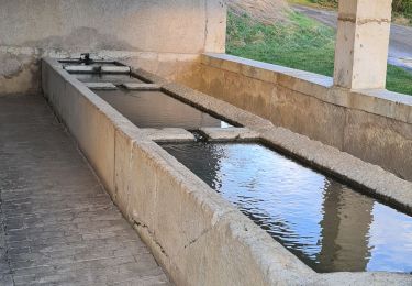
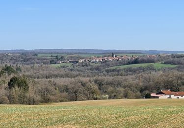
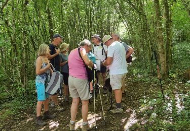
Randonnée Marche de 11,9 km à découvrir à Grand Est, Meurthe-et-Moselle, Martincourt. Cette randonnée est proposée par jean-marie.parachini.
Localisation
Pays :
France
Région :
Grand Est
Département/Province :
Meurthe-et-Moselle
Commune :
Martincourt
Localité :
Unknown
Départ:(Dec)
Départ:(UTM)
715401 ; 5415374 (31U) N.
Commentaires
Randonnées à proximité
AUDAX PONT A MOUSSON SI SEC
Marche
Difficile
(1)
Montauville,
Grand Est,
Meurthe-et-Moselle,
France
13h 35min
Oui
ROGEVILLE - LA PETITE SUISSE PAR MAMEY ET GEZONCOURT
Marche
Moyen
Rogéville,
Grand Est,
Meurthe-et-Moselle,
France
23 km | 29 km-effort
7h 53min
Oui
GEZONCOURT - PETITE SUISSE LORRAINE
Marche
Très facile
Gézoncourt,
Grand Est,
Meurthe-et-Moselle,
France
8,5 km | 10,3 km-effort
5h 9min
Oui
Gezoncourt
Marche
Facile
Gézoncourt,
Grand Est,
Meurthe-et-Moselle,
France
8,4 km | 10,2 km-effort
4h 2min
Oui
Gézoncourt - Petite Suisse
Marche
Facile
Gézoncourt,
Grand Est,
Meurthe-et-Moselle,
France
9,7 km | 12 km-effort
3h 22min
Oui
lironville madine
Vélo électrique
Très facile
Lironville,
Grand Est,
Meurthe-et-Moselle,
France
55 km | 64 km-effort
3h 12min
Non
Esch
Randonnée équestre
Facile
Gézoncourt,
Grand Est,
Meurthe-et-Moselle,
France
14,6 km | 17,9 km-effort
1h 59min
Non
Circuit des Boïldots
A pied
Facile
Domèvre-en-Haye,
Grand Est,
Meurthe-et-Moselle,
France
5,7 km | 6,5 km-effort
1h 29min
Non
Rogéville - La Verpillère
Marche
Difficile
Rogéville,
Grand Est,
Meurthe-et-Moselle,
France
11,4 km | 13,3 km-effort
3h 0min
Oui