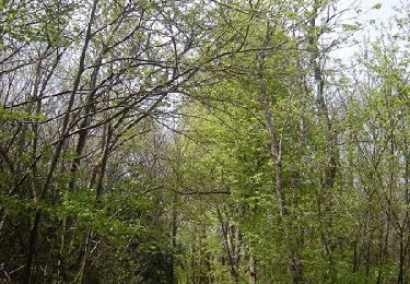
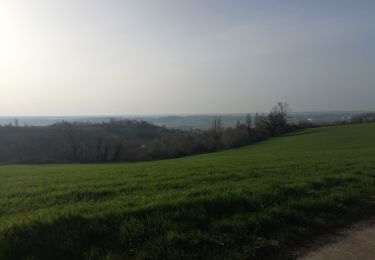
17,1 km | 23 km-effort
Luzinay
GILGilbert
Utilisateur
Longueur
32 km
Altitude max
364 m
Dénivelé positif
492 m
Km-Effort
38 km
Altitude min
199 m
Dénivelé négatif
512 m
Boucle
Non
Date de création :
2022-02-28 13:01:09.637
Dernière modification :
2022-03-01 20:38:50.497
4h00
Difficulté : Très difficile
Application GPS de randonnée GRATUITE
À propos
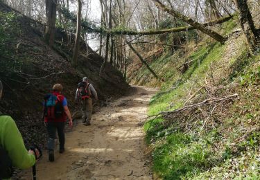
Randonnée Marche de 32 km à découvrir à Auvergne-Rhône-Alpes, Isère, Luzinay. Cette randonnée est proposée par GILGilbert.
Localisation
Pays :
France
Région :
Auvergne-Rhône-Alpes
Département/Province :
Isère
Commune :
Luzinay
Localité :
Unknown
Départ:(Dec)
Départ:(UTM)
653214 ; 5050013 (31T) N.
Commentaires
Randonnées à proximité
69 marennes-villette-V2-17km-420m
Marche
Facile
(1)
Marennes,
Auvergne-Rhône-Alpes,
Rhône,
France
4h 31min
Oui
canyon de Serpaize
V.T.T.
Facile
(1)
Serpaize,
Auvergne-Rhône-Alpes,
Isère,
France
13,4 km | 16,8 km-effort
1h 46min
Oui
Chaponnay - Valencin
V.T.T.
Moyen
(1)
Chaponnay,
Auvergne-Rhône-Alpes,
Rhône,
France
25 km | 31 km-effort
3h 50min
Oui
69-chaponnay-a-luzinay-20KM-430m-sensH-mai21
Marche
Difficile
Chaponnay,
Auvergne-Rhône-Alpes,
Rhône,
France
20 km | 26 km-effort
5h 56min
Oui
Boucle VTT autour de Chaponnay
V.T.T.
Difficile
Chaponnay,
Auvergne-Rhône-Alpes,
Rhône,
France
29 km | 36 km-effort
2h 30min
Oui
69 marenne villette 10km 200m
Marche
Très facile
Marennes,
Auvergne-Rhône-Alpes,
Rhône,
France
9,9 km | 12,4 km-effort
2h 2min
Oui
1er mai Chaponnay chuzelles Luzinay
V.T.T.
Très difficile
Villette-de-Vienne,
Auvergne-Rhône-Alpes,
Isère,
France
39 km | 52 km-effort
3h 47min
Oui
Chaponnay chuzelles Luzinay_backup
V.T.T.
Très difficile
Chaponnay,
Auvergne-Rhône-Alpes,
Rhône,
France
48 km | 63 km-effort
1h 42min
Non
De Chaponnay à Luzinay
V.T.T.
Difficile
(1)
Chaponnay,
Auvergne-Rhône-Alpes,
Rhône,
France
23 km | 30 km-effort
2h 30min
Oui