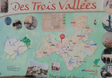
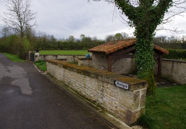
22 km | 25 km-effort
28 Feb pt1
markl
Utilisateur
Longueur
6,4 km
Altitude max
144 m
Dénivelé positif
115 m
Km-Effort
7,9 km
Altitude min
90 m
Dénivelé négatif
97 m
Boucle
Non
Date de création :
2022-02-28 11:02:15.276
Dernière modification :
2022-02-28 11:25:23.228
1h22
Difficulté : Moyen
Application GPS de randonnée GRATUITE
À propos
Randonnée Marche de 6,4 km à découvrir à Nouvelle-Aquitaine, Charente, Nanteuil-en-Vallée. Cette randonnée est proposée par markl.
Localisation
Pays :
France
Région :
Nouvelle-Aquitaine
Département/Province :
Charente
Commune :
Nanteuil-en-Vallée
Localité :
Nanteuil-en-Vallée
Départ:(Dec)
Départ:(UTM)
292703 ; 5097544 (31T) N.
Commentaires
Randonnées à proximité
Nanteuil en Vallée Rejalland
V.T.T.
Moyen
Nanteuil-en-Vallée,
Nouvelle-Aquitaine,
Charente,
France
2h 2min
Non
La rando de St GEORGES 16700
Marche
Facile
Saint-Georges,
Nouvelle-Aquitaine,
Charente,
France
7,9 km | 8,9 km-effort
2h 28min
Oui
Nanteuil_Condac
Marche
Moyen
Nanteuil-en-Vallée,
Nouvelle-Aquitaine,
Charente,
France
26 km | 31 km-effort
7h 0min
Oui
Monts et vallées de ll'Argentor
Marche
Facile
Nanteuil-en-Vallée,
Nouvelle-Aquitaine,
Charente,
France
11,6 km | 14,5 km-effort
3h 0min
Oui
Bioussac_Lavoirs
Marche
Moyen
Bioussac,
Nouvelle-Aquitaine,
Charente,
France
10,8 km | 12,5 km-effort
3h 0min
Oui
28 Feb pt2
Marche
Facile
Nanteuil-en-Vallée,
Nouvelle-Aquitaine,
Charente,
France
4,6 km | 5,5 km-effort
25min
Non
Saint-Georges
Marche
Moyen
Saint-Georges,
Nouvelle-Aquitaine,
Charente,
France
6,8 km | 7,6 km-effort
1h 35min
Oui
nanteuil en vallée
Marche
Très facile
Nanteuil-en-Vallée,
Nouvelle-Aquitaine,
Charente,
France
25 km | 29 km-effort
6h 0min
Oui
2012-01-29 13h07m52
Autre activité
Très facile
Nanteuil-en-Vallée,
Nouvelle-Aquitaine,
Charente,
France
3,8 km | 4,9 km-effort
1h 6min
Non