


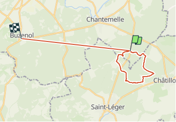

12,6 km | 16,2 km-effort


Utilisateur


Application GPS de randonnée GRATUITE
 SityTrail
IGN / Instituts géographiques
SityTrail World
Le monde est à vous
Randonnée Marche de 12,2 km à découvrir à Wallonie, Luxembourg, Étalle. Cette randonnée est proposée par Olivier Degimbe.
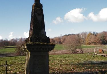
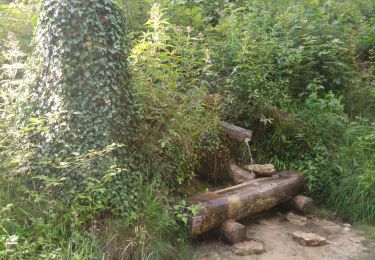
Superbes et variés sentiers forestiers en passant par le Fourneau David. Possibilité d’étendre via le trou du perou et le parc naturel de la sablière
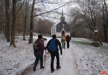
Marche

V.T.T.

Marche
Marche

Marche
Marche

A pied

A pied
V.T.T.