

Pougnadoresse La Bastide d'Engras

Sedille
Utilisateur

Longueur
8,4 km

Altitude max
256 m

Dénivelé positif
153 m

Km-Effort
10,4 km

Altitude min
207 m

Dénivelé négatif
152 m
Boucle
Oui
Date de création :
2022-02-26 13:01:56.833
Dernière modification :
2022-02-26 13:04:56.854
2h21
Difficulté : Moyen

Application GPS de randonnée GRATUITE
À propos
Randonnée Marche de 8,4 km à découvrir à Occitanie, Gard, Pougnadoresse. Cette randonnée est proposée par Sedille.
Description
Visite de deux villages fortifiés dominant la vallée de la Tave et entre les deux la chapelle St Jean d'Orgerolles dans un très beau site.
Localisation
Pays :
France
Région :
Occitanie
Département/Province :
Gard
Commune :
Pougnadoresse
Localité :
Unknown
Départ:(Dec)
Départ:(UTM)
620788 ; 4883183 (31T) N.
Commentaires
Randonnées à proximité
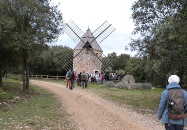
Masmolène et l'étang de la Capelle


Marche
Très facile
(1)
La Capelle-et-Masmolène,
Occitanie,
Gard,
France

14,4 km | 16,8 km-effort
3h 37min
Non
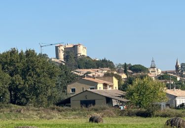
La Bastide D’Englas Pougnadoresse


sport
Très facile
La Bastide-d'Engras,
Occitanie,
Gard,
France

14,3 km | 17,2 km-effort
Inconnu
Oui

2 monastère solan avf


Marche
Moyen
(1)
La Bastide-d'Engras,
Occitanie,
Gard,
France

9,4 km | 11,7 km-effort
2h 39min
Oui
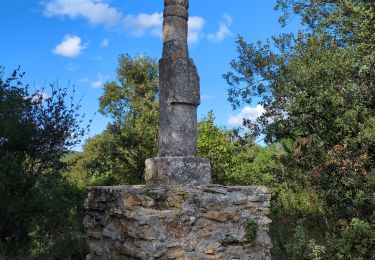
Vallabrix et le site de Massargues


Marche
Moyen
Vallabrix,
Occitanie,
Gard,
France

6,6 km | 8 km-effort
2h 16min
Oui
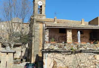
La Capelle-et-Masmolène


Marche
Facile
La Capelle-et-Masmolène,
Occitanie,
Gard,
France

7,7 km | 9,1 km-effort
2h 8min
Oui
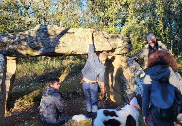
231224_St laurent


Marche
Moyen
Saint-Laurent-la-Vernède,
Occitanie,
Gard,
France

7,1 km | 8,7 km-effort
2h 1min
Oui
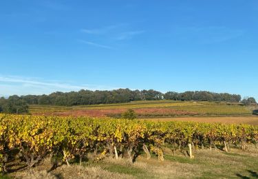
Cavillargues


Marche
Très difficile
Cavillargues,
Occitanie,
Gard,
France

22 km | 27 km-effort
7h 2min
Oui
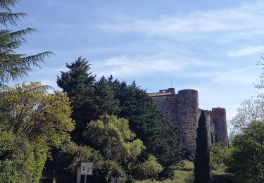
la Capelle Masmolène


Marche
Moyen
La Capelle-et-Masmolène,
Occitanie,
Gard,
France

16,8 km | 21 km-effort
5h 45min
Oui
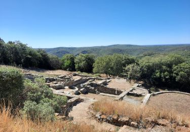
Le pin , la Garbie et oppidum


Marche
Moyen
Le Pin,
Occitanie,
Gard,
France

6,3 km | 8,3 km-effort
2h 42min
Non


 SityTrail


top sympa