


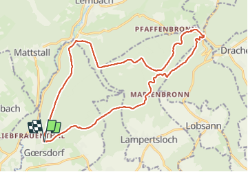

26 km | 32 km-effort

Utilisateur


Application GPS de randonnée GRATUITE
 SityTrail
IGN / Instituts géographiques
SityTrail World
Le monde est à vous
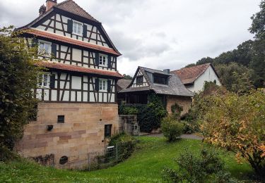
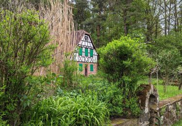
Randonnée Marche de 19,8 km à découvrir à Grand Est, Bas-Rhin, Gœrsdorf. Cette randonnée est proposée par LUTZMarc.
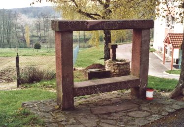
Autour du Soulzerkopf.
Resto au Col de Pfaffenschlick.
"Auberge du Pfaffenschlick "
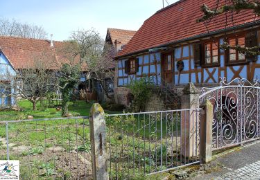
67510 Climbach.


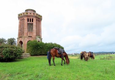
Randonnée équestre
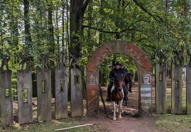
Randonnée équestre
Randonnée équestre

Randonnée équestre
Randonnée équestre
Randonnée équestre
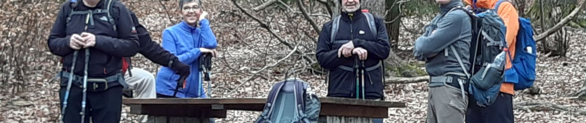
A pied
A pied
A pied