


31 km | 41 km-effort


Utilisateur


Application GPS de randonnée GRATUITE
 SityTrail
IGN / Instituts géographiques
SityTrail World
Le monde est à vous
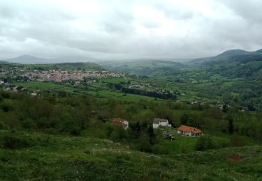
Randonnée V.T.T. de 14,7 km à découvrir à Auvergne-Rhône-Alpes, Haute-Loire, Brives-Charensac. Cette randonnée est proposée par evefrancois@orange.fr.
ancienne voie ferrée
plusieurs tunnels et ouvrages d’art
aller simple

Marche

Marche

Marche

Marche
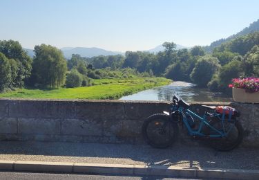
Vélo électrique
Marche
Marche
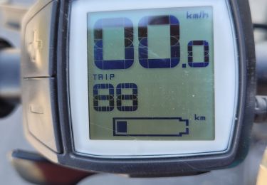
Vélo électrique
Vélo électrique