


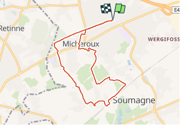


13,4 km | 17,5 km-effort

Utilisateur


Application GPS de randonnée GRATUITE
 SityTrail
IGN / Instituts géographiques
SityTrail World
Le monde est à vous
Randonnée Marche de 8,6 km à découvrir à Wallonie, Liège, Soumagne. Cette randonnée est proposée par Bob4800.
Belle balade d'un peu plus de 8 km sous un beau soleil. Température agréable pour marcher. Pas mal de boue quand même surtout au niveau de la ligne TGV.


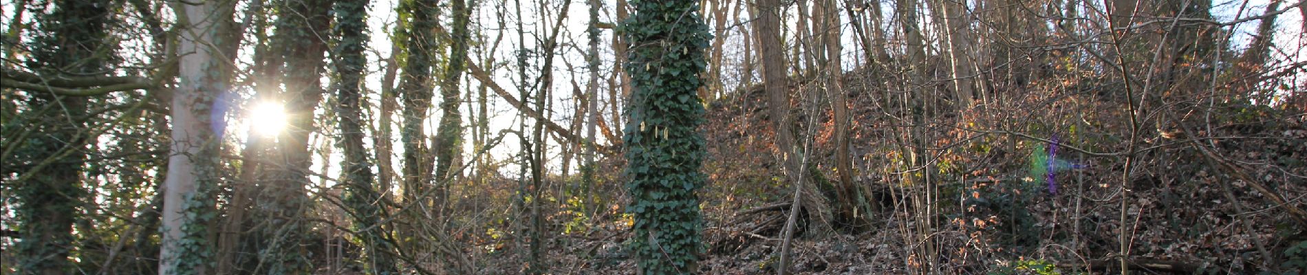
30 photos au total. Cliquez sur une photo pour les afficher toutes dans la galerie.

Marche


Marche

Marche

Marche

Marche

Marche

Marche

Marche