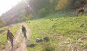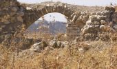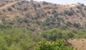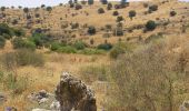

שביל נחל עכברה
SityTrail - itinéraires balisés pédestres
Tous les sentiers balisés d’Europe GUIDE+

Longueur
8,6 km

Altitude max
823 m

Dénivelé positif
815 m

Km-Effort
16,8 km

Altitude min
28 m

Dénivelé négatif
26 m
Boucle
Non
Balise
Date de création :
2022-02-22 08:22:59.887
Dernière modification :
2022-03-09 05:33:13.596
3h49
Difficulté : Facile

Application GPS de randonnée GRATUITE
À propos
Randonnée A pied de 8,6 km à découvrir à District nord, Inconnu, מועצה אזורית גליל עליון. Cette randonnée est proposée par SityTrail - itinéraires balisés pédestres.
Description
Randonnée créée par itc.
Localisation
Pays :
Israël
Région :
District nord
Département/Province :
Inconnu
Commune :
מועצה אזורית גליל עליון
Localité :
Unknown
Départ:(Dec)
Départ:(UTM)
732478 ; 3644203 (36S) N.
Commentaires
Randonnées à proximité
תל חצור למערת עלמה


A pied
Facile
Rosh Pina,
District nord,
Inconnu,
Israël

7,3 km | 11,9 km-effort
2h 42min
Non
שביל הלוחמים


A pied
Facile
מועצה אזורית מרום הגליל,
District nord,
Inconnu,
Israël

6,3 km | 8,7 km-effort
1h 58min
Non
קצרין-זויתן-חניון יהודיה


A pied
Facile
Katzrin,
District nord,
Inconnu,
Israël

4,7 km | 5,3 km-effort
1h 12min
Non

IL-2156


A pied
Facile
מועצה אזורית מרום הגליל,
District nord,
Inconnu,
Israël

7,5 km | 11,2 km-effort
2h 32min
Non
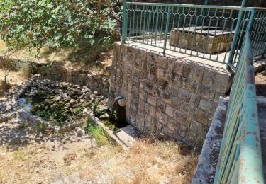
דרך נוף יער עמוקה


A pied
Facile
מועצה אזורית מרום הגליל,
District nord,
Inconnu,
Israël

5,3 km | 7,4 km-effort
1h 40min
Non
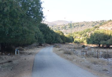
IL-2136


A pied
Facile
מועצה אזורית גליל עליון,
District nord,
Inconnu,
Israël

6,3 km | 7,1 km-effort
1h 36min
Non

IL-2347


A pied
Facile
מועצה אזורית גליל עליון,
District nord,
Inconnu,
Israël

3,3 km | 4,1 km-effort
55min
Non
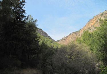
IL-2071


A pied
Facile
מועצה אזורית גליל עליון,
District nord,
Inconnu,
Israël

5,3 km | 7,5 km-effort
1h 42min
Non


 SityTrail


