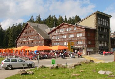
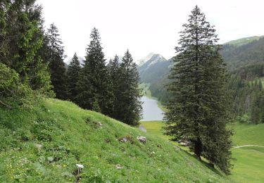
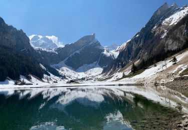
5,5 km | 6,2 km-effort
Bike32876
My Switzerland
Optez pour le retour à la nature GUIDE+
Longueur
30 km
Altitude max
1191 m
Dénivelé positif
1080 m
Km-Effort
44 km
Altitude min
420 m
Dénivelé négatif
1082 m
Boucle
Oui
Date de création :
2014-12-10 00:00:00.0
Dernière modification :
2014-12-10 00:00:00.0
--
Difficulté : Inconnu
Application GPS de randonnée GRATUITE
À propos
Randonnée V.T.T. de 30 km à découvrir à Saint-Gall, Wahlkreis Rheintal, Altstätten. Cette randonnée est proposée par My Switzerland.
Localisation
Pays :
Suisse
Région :
Saint-Gall
Département/Province :
Wahlkreis Rheintal
Commune :
Altstätten
Localité :
Unknown
Départ:(Dec)
Départ:(UTM)
542013 ; 5246947 (32T) N.
Commentaires
Randonnées à proximité
Dreiländerweg - BeWegung Begegnung
A pied
Facile
Stadt Feldkirch,
Vorarlberg,
Bezirk Feldkirch,
Autriche
1h 23min
Non
Pfeff ond Lischt
A pied
Facile
Appenzell,
Appenzell Rhodes-Intérieures,
Inconnu,
Suisse
3,4 km | 5,4 km-effort
1h 13min
Non
Kaien-St. Anton-Weg
A pied
Facile
Rehetobel,
Appenzell Rhodes-Extérieures,
Vorderland,
Suisse
3,7 km | 5,5 km-effort
1h 15min
Non
Meglisalp - Wagenlücke
A pied
Facile
Schwende,
Appenzell Rhodes-Intérieures,
Inconnu,
Suisse
3 km | 8,4 km-effort
1h 54min
Non
Blattendürren-Kronberg
A pied
Facile
Urnäsch,
Appenzell Rhodes-Extérieures,
Hinterland,
Suisse
6,1 km | 15,7 km-effort
3h 33min
Non
Schwägalp - Tierwies
A pied
Facile
Hundwil,
Appenzell Rhodes-Extérieures,
Hinterland,
Suisse
3,2 km | 10,5 km-effort
2h 22min
Non
Ruhsitz - Rainhütte
A pied
Facile
Rüte,
Appenzell Rhodes-Intérieures,
Inconnu,
Suisse
4,7 km | 7 km-effort
1h 35min
Non
Flucht - Hundwilerhöhe
A pied
Facile
Gonten,
Appenzell Rhodes-Intérieures,
Inconnu,
Suisse
5,3 km | 11,1 km-effort
2h 31min
Non
Altenalp - Öhrligrueb
A pied
Facile
Schwende,
Appenzell Rhodes-Intérieures,
Inconnu,
Suisse
3,4 km | 8,9 km-effort
2h 1min
Non