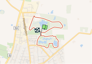

4,8 km | 5,3 km-effort

Tous les sentiers balisés d’Europe GUIDE+


Application GPS de randonnée GRATUITE
 SityTrail
IGN / Instituts géographiques
SityTrail World
Le monde est à vous
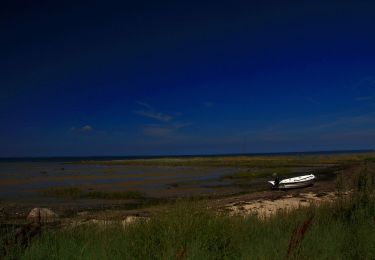
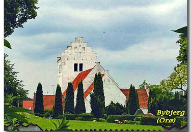
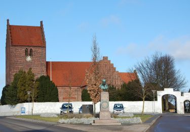
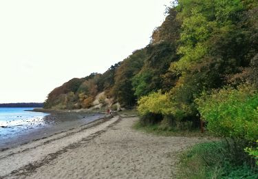
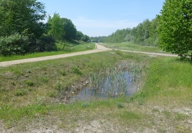
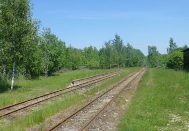
Randonnée A pied de 3,2 km à découvrir à Region Hovedstaden. Cette randonnée est proposée par SityTrail - itinéraires balisés pédestres.
Randonnée créée par Hjerteforeningen.
Site web: https://hjerteforeningen.dk/hjertestier/


A pied
A pied
A pied