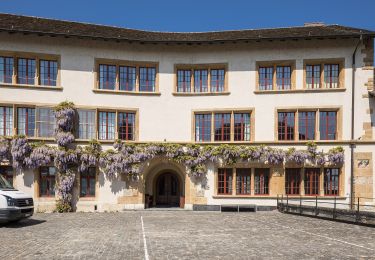
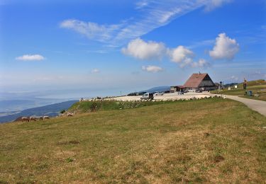
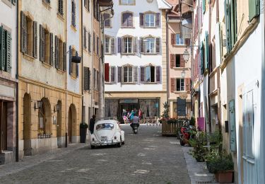
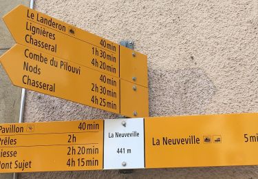
Randonnée V.T.T. La Neuveville - Bike32905 - Photo

Optez pour le retour à la nature GUIDE+

© OpenStreetMap contributors
Longueur
Longueur
30 km
Altitude max
Altitude max
946 m
Dénivelé positif
Dénivelé positif
915 m
Km-Effort
Km-Effort  
43 km
Altitude min
Altitude min
430 m
Dénivelé négatif
Dénivelé négatif
915 m
Boucle
Boucle
Oui
Date de création :
2014-12-10 00:00:00.0
Dernière modification :
2014-12-10 00:00:00.0

(0 Avis)

V.T.T.
V.T.T.
--
Difficulté : Inconnu

Scannez ce code QR pour ouvrir la randonnée dans l'application SityTrail

Application GPS de randonnée GRATUITE

Logo SityTrail SityTrail

IGN / Instituts géographiques

Télécharger SityTrail sur l'App Store Télécharger SityTrail sur Google Play

Logo SityTrail SityTrail World

Le monde est à vous

Télécharger SityTrail sur l'App Store Télécharger SityTrail sur Google Play Télécharger SityTrail sur Huawei AppGallery

À propos

Randonnée V.T.T. de 30 km à découvrir à Berne, Arrondissement administratif du Jura bernois, La Neuveville. Cette randonnée est proposée par My Switzerland.

Profil altimétrique

Points d'intérêt

Point d'intérêt La Neuveville - Bahnhof La Neuveville - Photo
My Switzerland
LA NEUVEVILLE 
Point d'intérêt La Neuveville - Bahnhof La Neuveville - Photo
My Switzerland
LA NEUVEVILLE 
Point d'intérêt Lignières -  - Photo
My Switzerland
LIGNIÈRES 
Point d'intérêt Gléresse -  - Photo
My Switzerland
GLÉRESSE 
Point d'intérêt Gléresse -  - Photo
My Switzerland
GLÉRESSE 
Point d'intérêt Plateau de Diesse -  - Photo
My Switzerland
PLATEAU DE DIESSE 
Point d'intérêt Plateau de Diesse -  - Photo
My Switzerland
PLATEAU DE DIESSE 

Localisation

Pays :
Suisse
Région :
Berne
Département/Province :
Arrondissement administratif du Jura bernois
Commune :
La Neuveville
Localité :
Unknown
Départ:(Dec)
Départ:(UTM)
355293 ; 5213865 (32T) N.

Randonnées à proximité

Randonnée A pied Twann-Tüscherz - Bielersee Heidenweg - Photo
A pied
GUIDE+

A pied

Facile
Twann-Tüscherz, Berne, Arrondissement administratif de Bienne, Suisse
6,9 km | 8,1 km-effort
1h 49min
Non
Randonnée A pied Lignières - Lignières - Chasseral Hôtel - Photo
A pied
GUIDE+

A pied

Facile
Lignières, Neuchâtel, Inconnu, Suisse
7,2 km | 14,9 km-effort
3h 22min
Non
Randonnée A pied La Neuveville - La Neuveville - Lignières - Photo
A pied
GUIDE+

A pied

Facile
La Neuveville, Berne, Arrondissement administratif du Jura bernois, Suisse
4,6 km | 8,5 km-effort
1h 55min
Non
Randonnée A pied La Neuveville - Festi - fixme - Photo
A pied
GUIDE+

A pied

Facile
La Neuveville, Berne, Arrondissement administratif du Jura bernois, Suisse
3,5 km | 5,9 km-effort
1h 19min
Non
Randonnée Marche La Neuveville - La Neuveville-Ile de St-Pierre - Photo
Marche
hgauchat

Marche

Facile
(1)
La Neuveville, Berne, Arrondissement administratif du Jura bernois, Suisse
14,5 km | 16,7 km-effort
4h 1min
Non
Randonnée A pied La Neuveville - La Praye - La Neuveville - Photo
A pied
GUIDE+

A pied

Facile
La Neuveville, Berne, Arrondissement administratif du Jura bernois, Suisse
3,1 km | 4,4 km-effort
59min
Non
Randonnée Marche Le Landeron - Le Landeron-Ile de St-Pierre - Photo
Marche
hgauchat

Marche

Facile
Le Landeron, Neuchâtel, Inconnu, Suisse
9,8 km | 11,2 km-effort
2h 50min
Non
Randonnée Marche Fenis - Vinelz et cerises - Photo
Marche
philmail

Marche

Facile
Fenis, Berne, Arrondissement administratif du Seeland, Suisse
7,5 km | 9,7 km-effort
2h 30min
Oui
Randonnée Marche Gléresse - Gléresse - Les moulins - Gorges de Twann - Photo
Marche
duamerg

Marche

Moyen
Gléresse, Berne, Arrondissement administratif de Bienne, Suisse
11,5 km | 18 km-effort
4h 9min
Oui


Fermer
Mes abonnements