


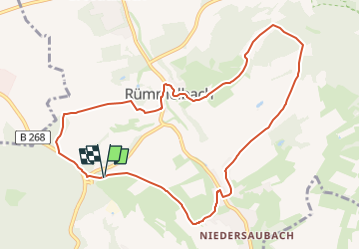

11,2 km | 16,1 km-effort


Tous les sentiers balisés d’Europe GUIDE+


Application GPS de randonnée GRATUITE
 SityTrail
IGN / Instituts géographiques
SityTrail World
Le monde est à vous
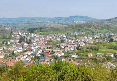
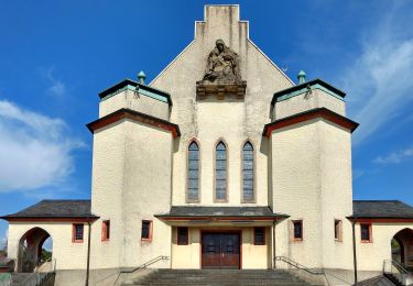
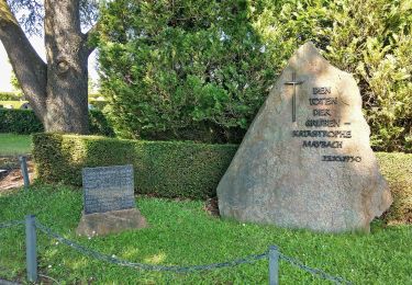
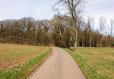
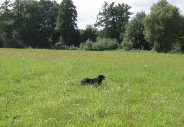
Randonnée A pied de 9,6 km à découvrir à Sarre, Landkreis Saarlouis, Lebach. Cette randonnée est proposée par SityTrail - itinéraires balisés pédestres.
Site web: https://unser-niedersaubach.de/?p=1654
A pied
A pied
A pied
A pied
A pied
A pied
A pied

A pied