


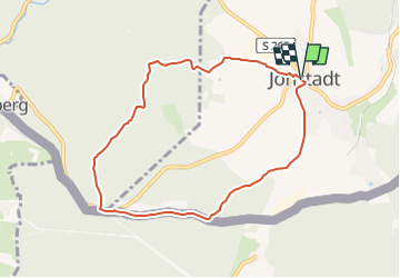

3,6 km | 4,1 km-effort


Tous les sentiers balisés d’Europe GUIDE+


Application GPS de randonnée GRATUITE
 SityTrail
IGN / Instituts géographiques
SityTrail World
Le monde est à vous
Randonnée A pied de 7,2 km à découvrir à Saxe, Erzgebirgskreis, Jöhstadt. Cette randonnée est proposée par SityTrail - itinéraires balisés pédestres.
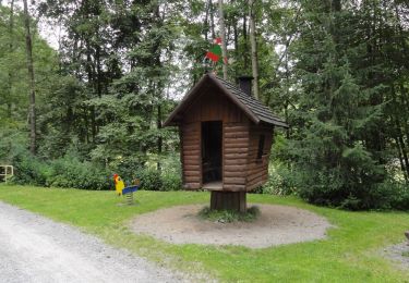
Symbole: gelber Strich weißer gGund
![Randonnée A pied Kryštofovy Hamry - [Ž] Přísečnice - Kryštofovy Hamry (CZ/D) - Photo](https://media.geolcdn.com/t/375/260/03c08e34-bb16-4dca-b0b7-852ffa6612cc.jpeg&format=jpg&maxdim=2)
A pied
A pied

A pied
A pied
A pied
A pied
A pied
A pied
A pied