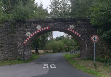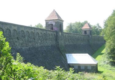

Ww Mittelbach-Grüna-Limbach-Oberfrohna
SityTrail - itinéraires balisés pédestres
Tous les sentiers balisés d’Europe GUIDE+

Longueur
6,3 km

Altitude max
468 m

Dénivelé positif
140 m

Km-Effort
8,1 km

Altitude min
353 m

Dénivelé négatif
117 m
Boucle
Non
Balise
Date de création :
2022-02-21 08:14:42.892
Dernière modification :
2022-02-21 08:14:42.892
1h49
Difficulté : Facile

Application GPS de randonnée GRATUITE
À propos
Randonnée A pied de 6,3 km à découvrir à Saxe, Chemnitz, Inconnu. Cette randonnée est proposée par SityTrail - itinéraires balisés pédestres.
Description
Symbole: grüner Strich,weißer Grund
Localisation
Pays :
Allemagne
Région :
Saxe
Département/Province :
Chemnitz
Commune :
Inconnu
Localité :
Grüna
Départ:(Dec)
Départ:(UTM)
344277 ; 5631492 (33U) N.
Commentaires
Randonnées à proximité


Ww Rundweg Grüna


A pied
Facile
Inconnu,
Saxe,
Chemnitz,
Allemagne

5,6 km | 6,6 km-effort
1h 30min
Oui

Tannmühle-Felsendome-Chemnitz-West-Ost-Beutenberg-Euba-Adelsbergturm


A pied
Très difficile
Callenberg,
Saxe,
Zwickau,
Allemagne

33 km | 41 km-effort
9h 21min
Non

Ww Alte Bierstraße


A pied
Facile
Hohenstein-Ernstthal,
Saxe,
Zwickau,
Allemagne

4,4 km | 5,8 km-effort
1h 18min
Non

Ww Wüstenbrand-Hohenstein-E.-Pfaffengrund-Wiesental


A pied
Facile
Hohenstein-Ernstthal,
Saxe,
Zwickau,
Allemagne

6,5 km | 8,4 km-effort
1h 55min
Non


Ww Wind- Pfarrgrund- Fichtental-Karl-May-Höhle


A pied
Facile
Hohenstein-Ernstthal,
Saxe,
Zwickau,
Allemagne

4 km | 4,6 km-effort
1h 3min
Non

Ww Rundweg Wüstenbrand


A pied
Facile
Callenberg,
Saxe,
Zwickau,
Allemagne

8,9 km | 11,3 km-effort
2h 33min
Oui

Mittelbach-Pleißa


A pied
Facile
Inconnu,
Saxe,
Chemnitz,
Allemagne

5,7 km | 7,4 km-effort
1h 41min
Non


 SityTrail


