


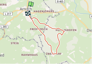

17,2 km | 20 km-effort


Tous les sentiers balisés d’Europe GUIDE+


Application GPS de randonnée GRATUITE
 SityTrail
IGN / Instituts géographiques
SityTrail World
Le monde est à vous
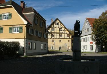
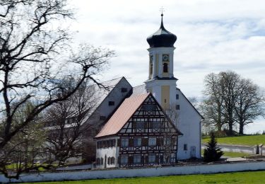
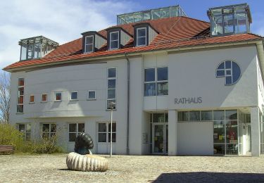
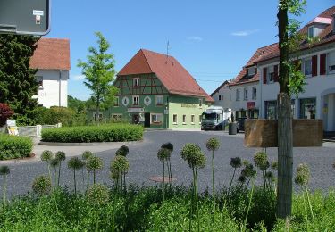
Randonnée A pied de 6,3 km à découvrir à Bade-Wurtemberg, Landkreis Ravensburg, Bad Wurzach. Cette randonnée est proposée par SityTrail - itinéraires balisés pédestres.
Randonnée créée par Bad Wurzach.
Symbole: White number on red background with rounded corners
A pied
A pied
A pied
A pied
A pied
A pied
A pied

A pied
A pied