
Via Alpina Red R68
SityTrail - itinéraires balisés pédestres
Tous les sentiers balisés d’Europe GUIDE+


6h14
Difficulté : Moyen

Application GPS de randonnée GRATUITE
À propos
Randonnée A pied de 15,2 km à découvrir à Trentin-Haut-Adige, Haut-Adige, Taufers im Münstertal - Tubre. Cette randonnée est proposée par SityTrail - itinéraires balisés pédestres.
Description
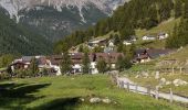
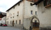
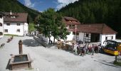
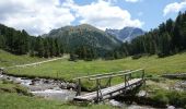
Leave S-charl in a southeastern direction and follow the valley floor to Plan d'Immez. From here, turn into the Val Plazer. The trail leads over the Cruschetta/S-charljöchl pass to the Swiss-Italian border. First head on a somewhat steeper downward course and then take an easy meadow trail through the solitary Avignatal valley (with its rare flowers and view over the Ortler) out to Taufers i. M.
Site web: http://via-alpina.org/en/stage/248
Localisation
Commentaires
Randonnées à proximité
A pied

A pied

A pied


Autre activité


V.T.T.


Autre activité


Autre activité


Autre activité


Autre activité


 SityTrail


