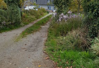

Le Bois de Grofys
SityTrail - itinéraires balisés pédestres
Tous les sentiers balisés d’Europe GUIDE+

Longueur
11,6 km

Altitude max
174 m

Dénivelé positif
126 m

Km-Effort
13,3 km

Altitude min
131 m

Dénivelé négatif
122 m
Boucle
Oui
Balise
Date de création :
2022-02-17 11:06:04.894
Dernière modification :
2022-03-03 23:24:45.151
3h01
Difficulté : Facile

Application GPS de randonnée GRATUITE
À propos
Randonnée A pied de 11,6 km à découvrir à Normandie, Seine-Maritime, Hugleville-en-Caux. Cette randonnée est proposée par SityTrail - itinéraires balisés pédestres.
Description
Randonnée créée par Communauté de communes d'Yerville - Plateau de Caux.
Localisation
Pays :
France
Région :
Normandie
Département/Province :
Seine-Maritime
Commune :
Hugleville-en-Caux
Localité :
Unknown
Départ:(Dec)
Départ:(UTM)
355287 ; 5496731 (31U) N.
Commentaires
Randonnées à proximité

076-90-Pavilly / St Autreberthe 13.5km


Marche
Moyen
(1)
Pavilly,
Normandie,
Seine-Maritime,
France

12 km | 15 km-effort
3h 23min
Oui

20220203-Pavilly


Marche
Moyen
Pavilly,
Normandie,
Seine-Maritime,
France

12,1 km | 15 km-effort
3h 36min
Oui

Butot -76- Chemin de randonnée le BOis de Grosfy


Marche
Difficile
Butot,
Normandie,
Seine-Maritime,
France

14,5 km | 16,7 km-effort
4h 3min
Oui

Pavilly St. Austreberthe (51)


Marche
Facile
(2)
Pavilly,
Normandie,
Seine-Maritime,
France

10,3 km | 13 km-effort
2h 49min
Oui

Goupillieres 6


Marche
Facile
Goupillières,
Normandie,
Seine-Maritime,
France

6,8 km | 7,6 km-effort
1h 40min
Oui

076-133-Pavilly St Austrebert 13km


A pied
Très facile
Pavilly,
Normandie,
Seine-Maritime,
France

13 km | 16 km-effort
Inconnu
Oui

Ste Austreberthe Pavilly A-R


Marche
Difficile
Sainte-Austreberthe,
Normandie,
Seine-Maritime,
France

12,5 km | 15,6 km-effort
3h 7min
Oui

076-89-Pavilly Ste Austreberthe route du Lin 11km-877-716-


Marche
Facile
Pavilly,
Normandie,
Seine-Maritime,
France

11 km | 13,7 km-effort
2h 56min
Oui

fresquennes


Marche
Moyen
(1)
Fresquiennes,
Normandie,
Seine-Maritime,
France

10,2 km | 11,6 km-effort
2h 38min
Oui


 SityTrail


