


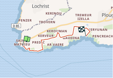

12,2 km | 14,1 km-effort

Tous les sentiers balisés d’Europe GUIDE+


Application GPS de randonnée GRATUITE
 SityTrail
IGN / Instituts géographiques
SityTrail World
Le monde est à vous
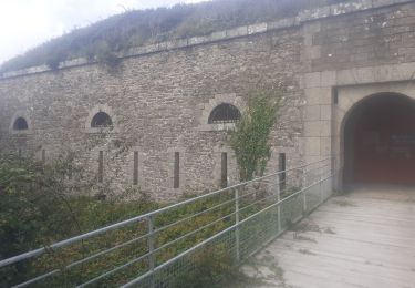
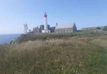
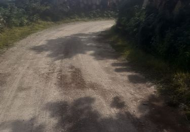
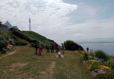
Randonnée A pied de 4,3 km à découvrir à Bretagne, Finistère, Plougonvelin. Cette randonnée est proposée par SityTrail - itinéraires balisés pédestres.
Site web: http://www.pays-iroise.com/images/pdf/_sitev2/Loisirs/Balade_rando/Le_circuit_de_Saint_Mathieu.pdf


Marche

A pied
Marche
Marche
Marche
Marche
Marche nordique

Marche

Marche