


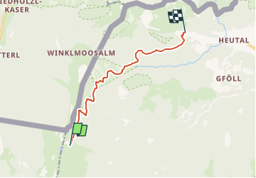

4,6 km | 7,7 km-effort


Tous les sentiers balisés d’Europe GUIDE+


Application GPS de randonnée GRATUITE
 SityTrail
IGN / Instituts géographiques
SityTrail World
Le monde est à vous
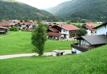
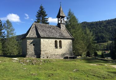
Randonnée A pied de 8,2 km à découvrir à Salzbourg, Bezirk Zell am See, Gemeinde Unken. Cette randonnée est proposée par SityTrail - itinéraires balisés pédestres.
Randonnée créée par OEAV Sektion Lofer.
Symbole: Gelbe Wegweisschilder mit Text und Zahl


A pied
A pied
A pied
A pied
A pied
A pied
A pied
A pied

Marche