![](/images/other/stat-length.png)
![Randonnée A pied Wenigzell - Barbara-Sicharter-Weg - Photo](https://media.geolcdn.com/t/1900/400/f17ff6a7-c7b3-4948-a8db-a8933e4d0b17.jpeg&format=pjpeg&maxdim=2)
Barbara-Sicharter-Weg
SityTrail - itinéraires balisés pédestres
Tous les sentiers balisés d’Europe GUIDE+
![Longueur](/images/other/stat-length.png)
![Altitude max](https://static1.geolcdn.com/siteimages/upload/files/1508320355ic_sort_altitude_max_24dp.png)
![Dénivelé positif](https://static1.geolcdn.com/siteimages/upload/files/1508320355ic_sort_den_pos_24dp.png)
![Km-Effort](/images/other/stat-length.png)
![Altitude min](https://static1.geolcdn.com/siteimages/upload/files/1508320355ic_sort_altitude_min_24dp.png)
![Dénivelé négatif](https://static1.geolcdn.com/siteimages/upload/files/1508320355ic_sort_den_neg_24dp.png)
![Boucle](https://static1.geolcdn.com/siteimages/upload/files/16400158638029165_repeat_loop_refresh_sync_direction_icon.png)
![A pied](https://static1.geolcdn.com/sitytour/trail-icons/100.png)
1h27
Difficulté : Facile
![Scannez ce code QR pour ouvrir la randonnée dans l'application SityTrail](https://capi.geolives.com/qq0zvz2zws4bq2lad0pu/sitytour/trails/3128923/qr.png?size=200)
Application GPS de randonnée GRATUITE
À propos
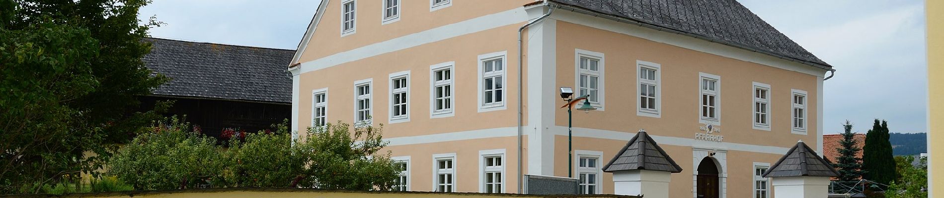
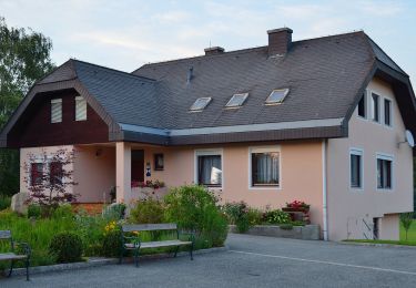
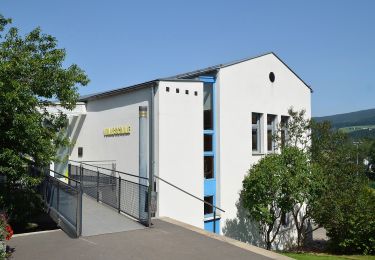
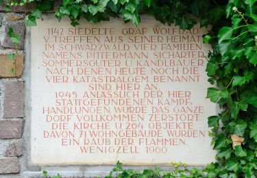
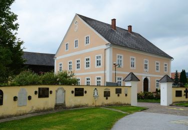
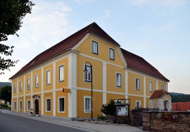
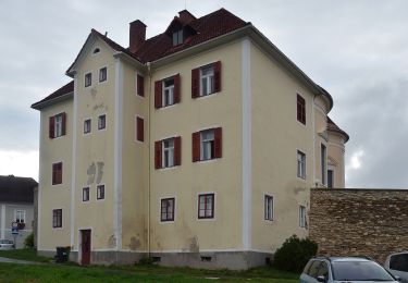
Randonnée A pied de 4,9 km à découvrir à Styrie, Bezirk Hartberg-Fürstenfeld, Wenigzell. Cette randonnée est proposée par SityTrail - itinéraires balisés pédestres.
Description
http://wiki.openstreetmap.org/wiki/WikiProject_Austria/Wanderwege
Site web: https://www.wenigzell.at/tl_files/downloads/1361876573barbara-sicharter-weg.pdf
Localisation
Commentaires
Randonnées à proximité
![Randonnée A pied Miesenbach bei Birkfeld - Wanderweg 1 - Photo](https://media.geolcdn.com/t/375/260/44a439ad-ac79-4376-ac5f-70fd4c80eca0.jpeg&format=jpg&maxdim=2)
![A pied A pied](https://static1.geolcdn.com/sitytour/trail-icons/100.png)
A pied
![](/images/other/stat-length.png)
![](https://static1.geolcdn.com/siteimages/upload/files/16400158638029165_repeat_loop_refresh_sync_direction_icon.png)
![Randonnée A pied Miesenbach bei Birkfeld - Wanderweg 6 - Wildwiesenrunde - Photo](https://media.geolcdn.com/t/375/260/027c9ebb-61ea-4c34-bcff-bb25fd30e82f.jpeg&format=jpg&maxdim=2)
![A pied A pied](https://static1.geolcdn.com/sitytour/trail-icons/100.png)
A pied
![](/images/other/stat-length.png)
![](https://static1.geolcdn.com/siteimages/upload/files/16400158638029165_repeat_loop_refresh_sync_direction_icon.png)
![Randonnée A pied Wenigzell - AT-2 - Photo](https://media.geolcdn.com/t/375/260/3db58017-19d2-4335-be66-f8acab6330fb.jpeg&format=jpg&maxdim=2)
![A pied A pied](https://static1.geolcdn.com/sitytour/trail-icons/100.png)
A pied
![](/images/other/stat-length.png)
![](https://static1.geolcdn.com/siteimages/upload/files/16400158638029165_repeat_loop_refresh_sync_direction_icon.png)
![Randonnée A pied Wenigzell - Wanderweg 4 - Photo](https://media.geolcdn.com/t/375/260/f17ff6a7-c7b3-4948-a8db-a8933e4d0b17.jpeg&format=jpg&maxdim=2)
![A pied A pied](https://static1.geolcdn.com/sitytour/trail-icons/100.png)
A pied
![](/images/other/stat-length.png)
![](https://static1.geolcdn.com/siteimages/upload/files/16400158638029165_repeat_loop_refresh_sync_direction_icon.png)
![Randonnée A pied Miesenbach bei Birkfeld - Wasserweg - Photo](https://media.geolcdn.com/t/375/260/ffd24c1e-a6ef-4740-a75b-7194801a2955.jpeg&format=jpg&maxdim=2)
![A pied A pied](https://static1.geolcdn.com/sitytour/trail-icons/100.png)
A pied
![](/images/other/stat-length.png)
![](https://static1.geolcdn.com/siteimages/upload/files/16400158638029165_repeat_loop_refresh_sync_direction_icon.png)
![Randonnée A pied Miesenbach bei Birkfeld - Klammweg - Photo](https://media.geolcdn.com/t/375/260/db1fa894-f9dd-4148-8c75-10ff8e7cc76a.jpeg&format=jpg&maxdim=2)
![A pied A pied](https://static1.geolcdn.com/sitytour/trail-icons/100.png)
A pied
![](/images/other/stat-length.png)
![](https://static1.geolcdn.com/siteimages/upload/files/16400158638029165_repeat_loop_refresh_sync_direction_icon.png)
![Randonnée A pied Pöllau - Wanderweg 10 - Photo](https://media.geolcdn.com/t/375/260/b77c793b-c855-46e0-bbd9-510714162b91.jpeg&format=jpg&maxdim=2)
![A pied A pied](https://static1.geolcdn.com/sitytour/trail-icons/100.png)
A pied
![](/images/other/stat-length.png)
![](https://static1.geolcdn.com/siteimages/upload/files/16400158638029165_repeat_loop_refresh_sync_direction_icon.png)
![Randonnée A pied Miesenbach bei Birkfeld - Wanderweg 6 - Photo](https://media.geolcdn.com/t/375/260/5ea77263-fc0b-4e09-979f-195c534e6af8.jpeg&format=jpg&maxdim=2)
![A pied A pied](https://static1.geolcdn.com/sitytour/trail-icons/100.png)
A pied
![](/images/other/stat-length.png)
![](https://static1.geolcdn.com/siteimages/upload/files/16400158638029165_repeat_loop_refresh_sync_direction_icon.png)
![Randonnée A pied Miesenbach bei Birkfeld - Wanderweg 9 - Photo](https://media.geolcdn.com/t/375/260/ext.jpg?maxdim=2&url=https%3A%2F%2Fstatic1.geolcdn.com%2Fsiteimages%2Fupload%2Ffiles%2F1545311037marcheuse_200dpi.jpg)
![A pied A pied](https://static1.geolcdn.com/sitytour/trail-icons/100.png)
A pied
![](/images/other/stat-length.png)
![](https://static1.geolcdn.com/siteimages/upload/files/16400158638029165_repeat_loop_refresh_sync_direction_icon.png)