


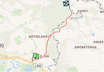

5,1 km | 6,4 km-effort

Tous les sentiers balisés d’Europe GUIDE+


Application GPS de randonnée GRATUITE
 SityTrail
IGN / Instituts géographiques
SityTrail World
Le monde est à vous
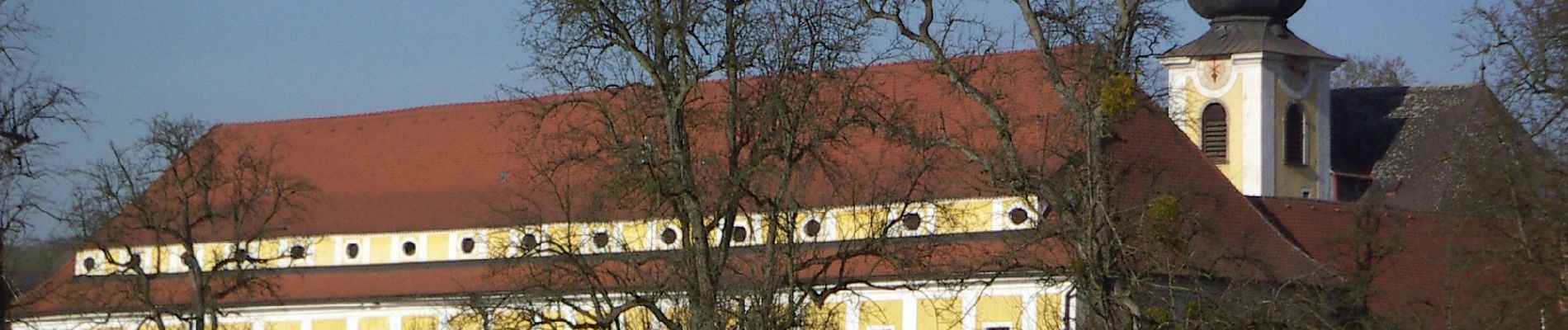
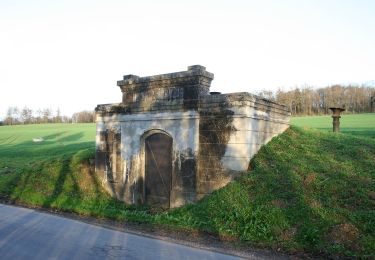
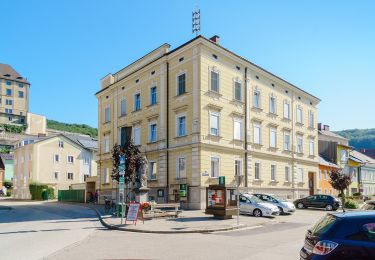
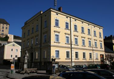
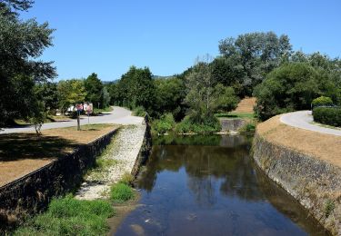
Randonnée A pied de 3,5 km à découvrir à Haute-Autriche, Bezirk Urfahr-Umgebung, Steyregg. Cette randonnée est proposée par SityTrail - itinéraires balisés pédestres.
Symbole: Drei horizontale Streifen in den Farben grün (oben), weiß und blau (unten)


A pied
A pied
A pied
A pied
A pied
A pied
A pied

Cyclotourisme