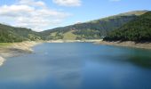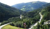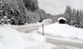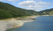

Wanderweg 4 - Gerlos
SityTrail - itinéraires balisés pédestres
Tous les sentiers balisés d’Europe GUIDE+

Longueur
4,4 km

Altitude max
1465 m

Dénivelé positif
239 m

Km-Effort
7 km

Altitude min
1269 m

Dénivelé négatif
52 m
Boucle
Non
Balise
Date de création :
2022-02-16 16:49:43.303
Dernière modification :
2022-03-03 12:36:49.259
1h35
Difficulté : Facile

Application GPS de randonnée GRATUITE
À propos
Randonnée A pied de 4,4 km à découvrir à Tyrol, Bezirk Schwaz, Gemeinde Gerlos. Cette randonnée est proposée par SityTrail - itinéraires balisés pédestres.
Description
Randonnée créée par TVB Zell-Gerlos.
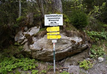
Symbole: Gelbe Wegweisschilder mit schwarzer Schrift
Localisation
Pays :
Autriche
Région :
Tyrol
Département/Province :
Bezirk Schwaz
Commune :
Gemeinde Gerlos
Localité :
Unknown
Départ:(Dec)
Départ:(UTM)
277120 ; 5235440 (33T) N.
Commentaires
Randonnées à proximité
Wasserfall-Trail


A pied
Facile
Gemeinde Gerlos,
Tyrol,
Bezirk Schwaz,
Autriche

5,7 km | 7,7 km-effort
1h 44min
Non
Wanderweg 7a - Gerlos


A pied
Facile
Gemeinde Gerlos,
Tyrol,
Bezirk Schwaz,
Autriche

3,2 km | 4,4 km-effort
59min
Non
Stauseerunde


A pied
Facile
Krimml,
Salzbourg,
Bezirk Zell am See,
Autriche

6,3 km | 8,5 km-effort
1h 55min
Non
Innertal-Runde


A pied
Facile
Gemeinde Gerlos,
Tyrol,
Bezirk Schwaz,
Autriche

3,2 km | 3,6 km-effort
49min
Non

2-Seen-Runde


A pied
Facile
Krimml,
Salzbourg,
Bezirk Zell am See,
Autriche

6,3 km | 8,5 km-effort
1h 55min
Non
Gmündner Seemeile


A pied
Facile
Gemeinde Gerlos,
Tyrol,
Bezirk Schwaz,
Autriche

3,1 km | 4,4 km-effort
59min
Oui

Bachrunde


A pied
Facile
Gemeinde Gerlos,
Tyrol,
Bezirk Schwaz,
Autriche

4,3 km | 5,1 km-effort
1h 9min
Non

Wanderweg 7 - Gerlos


A pied
Moyen
Gemeinde Gerlos,
Tyrol,
Bezirk Schwaz,
Autriche

9,6 km | 20 km-effort
4h 35min
Oui

Wanderweg 5 - Gerlos


A pied
Facile
Gemeinde Gerlos,
Tyrol,
Bezirk Schwaz,
Autriche

5,7 km | 11,9 km-effort
2h 42min
Non


 SityTrail


