![](/images/other/stat-length.png)
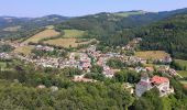
![Randonnée A pied Feistritz am Wechsel - Feistritz am Wechsel - Hollabrunner Riegel (Gasthof zur Schönen Aussicht) - Eben - Kirchau - Photo](https://media.geolcdn.com/t/1900/400/ff45a38c-3e21-4a97-9220-0ffaac5f52b2.jpeg&format=pjpeg&maxdim=2)
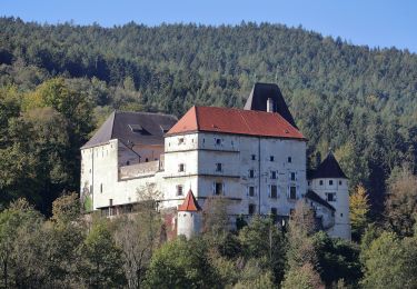
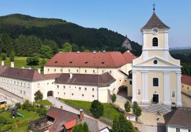
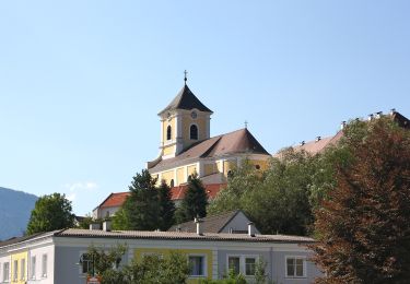
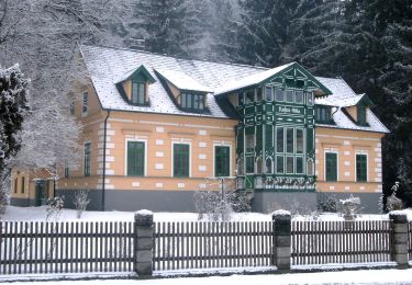
Feistritz am Wechsel - Hollabrunner Riegel (Gasthof zur Schönen Aussicht) - Eben - Kirchau
SityTrail - itinéraires balisés pédestres
Tous les sentiers balisés d’Europe GUIDE+
![Longueur](/images/other/stat-length.png)
![Altitude max](https://static1.geolcdn.com/siteimages/upload/files/1508320355ic_sort_altitude_max_24dp.png)
![Dénivelé positif](https://static1.geolcdn.com/siteimages/upload/files/1508320355ic_sort_den_pos_24dp.png)
![Km-Effort](/images/other/stat-length.png)
![Altitude min](https://static1.geolcdn.com/siteimages/upload/files/1508320355ic_sort_altitude_min_24dp.png)
![Dénivelé négatif](https://static1.geolcdn.com/siteimages/upload/files/1508320355ic_sort_den_neg_24dp.png)
![Boucle](https://static1.geolcdn.com/siteimages/upload/files/16400158638029165_repeat_loop_refresh_sync_direction_icon.png)
![A pied](https://static1.geolcdn.com/sitytour/trail-icons/100.png)
3h44
Difficulté : Facile
![Scannez ce code QR pour ouvrir la randonnée dans l'application SityTrail](https://capi.geolives.com/qq0zvz2zws4bq2lad0pu/sitytour/trails/3127815/qr.png?size=200)
Application GPS de randonnée GRATUITE
À propos
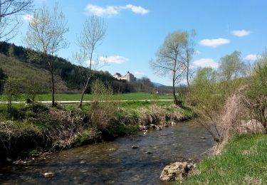
Randonnée A pied de 10,1 km à découvrir à Basse-Autriche, Bezirk Neunkirchen, Feistritz am Wechsel. Cette randonnée est proposée par SityTrail - itinéraires balisés pédestres.
Description
Randonnée créée par Österreichischer Touristenklub, Sektion Neunkirchen.
ref 205 auf Schild in Maierhöfen
Symbole: grüner, waagrechter Balken
Localisation
Commentaires
Randonnées à proximité
![Randonnée A pied Feistritz am Wechsel - Rundwanderweg 10 (Urban-Kapelle - Feistritz - Grottendorf - Hollabrunn - Urban-Kapelle) - Photo](https://media.geolcdn.com/t/375/260/3b2c8ecd-1b3c-45ac-a950-85a706da3537.jpeg&format=jpg&maxdim=2)
![A pied A pied](https://static1.geolcdn.com/sitytour/trail-icons/100.png)
A pied
![](/images/other/stat-length.png)
![](https://static1.geolcdn.com/siteimages/upload/files/16400158638029165_repeat_loop_refresh_sync_direction_icon.png)
![Randonnée A pied Feistritz am Wechsel - Feistritz am Wechsel - Hollabrunn über Steinbichel - Photo](https://media.geolcdn.com/t/375/260/69173b9b-3432-4d70-9800-dbb92f0fc1ba.jpeg&format=jpg&maxdim=2)
![A pied A pied](https://static1.geolcdn.com/sitytour/trail-icons/100.png)
A pied
![](/images/other/stat-length.png)
![](https://static1.geolcdn.com/siteimages/upload/files/16400158638029165_repeat_loop_refresh_sync_direction_icon.png)
![Randonnée A pied Gemeinde Kirchberg am Wechsel - Spazierweg 10 - Photo](https://media.geolcdn.com/t/375/260/017188e0-9641-45a4-9e12-df3945b34ac1.jpeg&format=jpg&maxdim=2)
![A pied A pied](https://static1.geolcdn.com/sitytour/trail-icons/100.png)
A pied
![](/images/other/stat-length.png)
![](https://static1.geolcdn.com/siteimages/upload/files/16400158638029165_repeat_loop_refresh_sync_direction_icon.png)
![Randonnée A pied Gemeinde Kirchberg am Wechsel - Kirchberg a.W. - Karlhöhe - Photo](https://media.geolcdn.com/t/375/260/bcc93319-5a06-429c-bea6-905900362b4d.jpeg&format=jpg&maxdim=2)
![A pied A pied](https://static1.geolcdn.com/sitytour/trail-icons/100.png)
A pied
![](/images/other/stat-length.png)
![](https://static1.geolcdn.com/siteimages/upload/files/16400158638029165_repeat_loop_refresh_sync_direction_icon.png)
![Randonnée A pied Gemeinde Kirchberg am Wechsel - Hochwechsel Wanderweg (Kirchberg a.W. - Steyersberger Schwaig - Photo](https://media.geolcdn.com/t/375/260/fac3801f-c0f9-4dcb-9a51-47da7b6c942b.jpeg&format=jpg&maxdim=2)
![A pied A pied](https://static1.geolcdn.com/sitytour/trail-icons/100.png)
A pied
![](/images/other/stat-length.png)
![](https://static1.geolcdn.com/siteimages/upload/files/16400158638029165_repeat_loop_refresh_sync_direction_icon.png)
![Randonnée A pied Gemeinde Aspang - Unteraspang - Hottmannsgraben - Paßkapelle - Photo](https://media.geolcdn.com/t/375/260/8d66704e-3515-4205-b695-dbda7cfcd308.jpeg&format=jpg&maxdim=2)
![A pied A pied](https://static1.geolcdn.com/sitytour/trail-icons/100.png)
A pied
![](/images/other/stat-length.png)
![](https://static1.geolcdn.com/siteimages/upload/files/16400158638029165_repeat_loop_refresh_sync_direction_icon.png)
![Randonnée A pied Gemeinde St. Corona am Wechsel - St. Corona - Almrauschhütte - Kampsteiner Schwaig - Herrgottschnitzerhütte - Simashütte - Orthof - Photo](https://media.geolcdn.com/t/375/260/fa693a4d-c22d-412e-abf4-2f5c1e87609b.jpeg&format=jpg&maxdim=2)
![A pied A pied](https://static1.geolcdn.com/sitytour/trail-icons/100.png)
A pied
![](/images/other/stat-length.png)
![](https://static1.geolcdn.com/siteimages/upload/files/16400158638029165_repeat_loop_refresh_sync_direction_icon.png)
![Randonnée A pied Gemeinde St. Corona am Wechsel - Unternberg - Gasthof Hansl am Oad - St. Peter - Photo](https://media.geolcdn.com/t/375/260/55c1b00a-d00e-42b3-8e0d-e4cfa96a0199.jpeg&format=jpg&maxdim=2)
![A pied A pied](https://static1.geolcdn.com/sitytour/trail-icons/100.png)
A pied
![](/images/other/stat-length.png)
![](https://static1.geolcdn.com/siteimages/upload/files/16400158638029165_repeat_loop_refresh_sync_direction_icon.png)
![Randonnée A pied Gemeinde St. Corona am Wechsel - Orthof - St. Peter - Photo](https://media.geolcdn.com/t/375/260/fa693a4d-c22d-412e-abf4-2f5c1e87609b.jpeg&format=jpg&maxdim=2)
![A pied A pied](https://static1.geolcdn.com/sitytour/trail-icons/100.png)
A pied
![](/images/other/stat-length.png)
![](https://static1.geolcdn.com/siteimages/upload/files/16400158638029165_repeat_loop_refresh_sync_direction_icon.png)