5,9 km | 6,6 km-effort
Gaflei - Planken
SityTrail - itinéraires balisés pédestres
Tous les sentiers balisés d’Europe GUIDE+
Longueur
9,2 km
Altitude max
2092 m
Dénivelé positif
760 m
Km-Effort
19,6 km
Altitude min
1429 m
Dénivelé négatif
821 m
Boucle
Non
Balise
Date de création :
2022-02-16 16:43:16.802
Dernière modification :
2022-02-16 16:43:16.802
4h27
Difficulté : Facile
Application GPS de randonnée GRATUITE
À propos
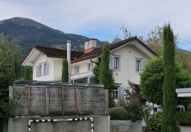
Randonnée A pied de 9,2 km à découvrir à Inconnu, Oberland, Triesenberg. Cette randonnée est proposée par SityTrail - itinéraires balisés pédestres.
Localisation
Pays :
Liechtenstein
Région :
Inconnu
Département/Province :
Oberland
Commune :
Triesenberg
Localité :
Unknown
Départ:(Dec)
Départ:(UTM)
541291 ; 5221091 (32T) N.
Commentaires
Randonnées à proximité
Gafleisattel - Prafazei
A pied
Facile
Triesenberg,
Inconnu,
Oberland,
Liechtenstein
6,4 km | 11,8 km-effort
2h 40min
Non
Gafleisattel - Prafazei
A pied
Facile
Triesenberg,
Inconnu,
Oberland,
Liechtenstein
5,7 km | 11,1 km-effort
2h 30min
Non
Gafadurahuette - Drei Schwestern - Kemmi - Silum - Steg
A pied
Moyen
Planken,
Inconnu,
Oberland,
Liechtenstein
13,8 km | 27 km-effort
6h 3min
Non
sf10_e2a
Autre activité
Très facile
Vaduz,
Inconnu,
Oberland,
Liechtenstein
26 km | 38 km-effort
9h 1min
Non
Vaduz - Triesenberg: Fürstliches Wandern
Marche
Très facile
Vaduz,
Inconnu,
Oberland,
Liechtenstein
4,9 km | 9,7 km-effort
Inconnu
Non
Bike32877
V.T.T.
Très facile
Vaduz,
Inconnu,
Oberland,
Liechtenstein
32 km | 50 km-effort
Inconnu
Oui
li_wa13
Marche
Très facile
Planken,
Inconnu,
Oberland,
Liechtenstein
18,8 km | 28 km-effort
5h 3min
Non
li_wa12
Marche
Très facile
Triesenberg,
Inconnu,
Oberland,
Liechtenstein
13,4 km | 29 km-effort
5h 4min
Non