


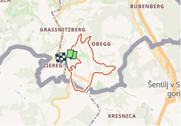

7,2 km | 10 km-effort


Tous les sentiers balisés d’Europe PRO


Application GPS de randonnée GRATUITE
 SityTrail
IGN / Instituts géographiques
SityTrail World
Le monde est à vous
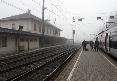
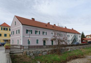
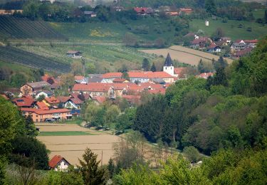
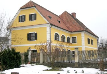
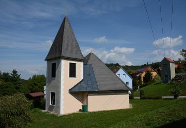
Randonnée A pied de 5,8 km à découvrir à Styrie, Bezirk Leibnitz, Ehrenhausen an der Weinstraße. Cette randonnée est proposée par SityTrail - itinéraires balisés pédestres.
Symbole: grüner Doppelpfeil mit 2 Sonnen und schwarzer Schrift


A pied
A pied
A pied

A pied
A pied
A pied
A pied
A pied
A pied