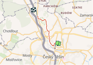
![](/images/other/stat-length.png)
![Randonnée A pied Unknown - Trasa spacerowa krawędziowa - Photo](https://media.geolcdn.com/t/1900/400/83fa9367-ea7d-4d88-9369-88b9a5adb77d.jpeg&format=pjpeg&maxdim=2)
Trasa spacerowa krawędziowa
SityTrail - itinéraires balisés pédestres
Tous les sentiers balisés d’Europe GUIDE+
![Longueur](/images/other/stat-length.png)
![Altitude max](https://static1.geolcdn.com/siteimages/upload/files/1508320355ic_sort_altitude_max_24dp.png)
![Dénivelé positif](https://static1.geolcdn.com/siteimages/upload/files/1508320355ic_sort_den_pos_24dp.png)
![Km-Effort](/images/other/stat-length.png)
![Altitude min](https://static1.geolcdn.com/siteimages/upload/files/1508320355ic_sort_altitude_min_24dp.png)
![Dénivelé négatif](https://static1.geolcdn.com/siteimages/upload/files/1508320355ic_sort_den_neg_24dp.png)
![Boucle](https://static1.geolcdn.com/siteimages/upload/files/16400158638029165_repeat_loop_refresh_sync_direction_icon.png)
![A pied](https://static1.geolcdn.com/sitytour/trail-icons/100.png)
1h37
Difficulté : Facile
![Scannez ce code QR pour ouvrir la randonnée dans l'application SityTrail](https://capi.geolives.com/qq0zvz2zws4bq2lad0pu/sitytour/trails/3127157/qr.png?size=200)
Application GPS de randonnée GRATUITE
À propos
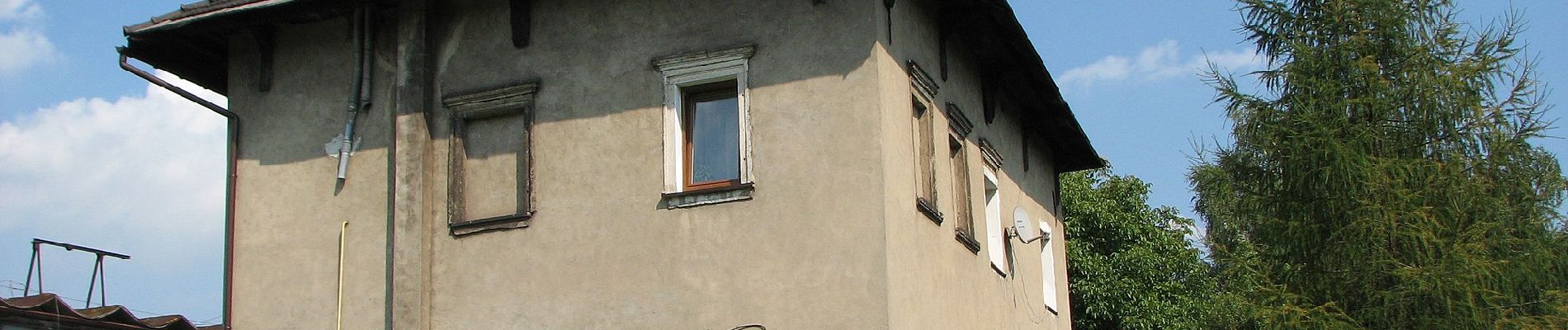
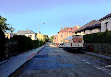
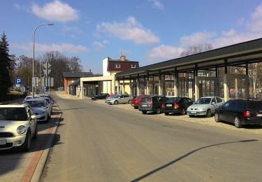
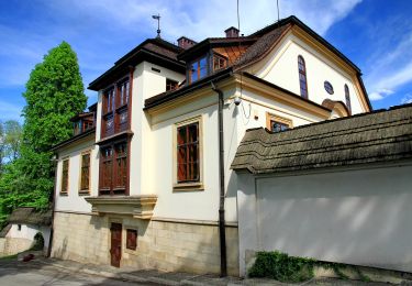
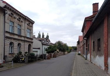
Randonnée A pied de 5,2 km à découvrir à Silésie, powiat cieszyński. Cette randonnée est proposée par SityTrail - itinéraires balisés pédestres.
Description
Oficjalny serwis informacyjny miasta Cieszyn. Wiadomości, kalendarium imprez, wydarzenia sportowe, turystyka, kultura i edukacja.
Site web: http://www.cieszyn.pl/?p=categoriesShow&iCategory=323
Localisation
Commentaires
Randonnées à proximité
![Randonnée A pied Český Těšín - Trasa dlouhá zelená - Photo](https://media.geolcdn.com/t/375/260/0ff97a85-ad20-4761-9d34-90315964bbe9.jpeg&format=jpg&maxdim=2)
![A pied A pied](https://static1.geolcdn.com/sitytour/trail-icons/100.png)
A pied
![](/images/other/stat-length.png)
![](https://static1.geolcdn.com/siteimages/upload/files/16400158638029165_repeat_loop_refresh_sync_direction_icon.png)
![Randonnée A pied - Trasa spacerowa widokowa - Photo](https://media.geolcdn.com/t/375/260/099022b6-42d6-455f-b3b9-f4fccbc0f374.jpeg&format=jpg&maxdim=2)
![A pied A pied](https://static1.geolcdn.com/sitytour/trail-icons/100.png)
A pied
![](/images/other/stat-length.png)
![](https://static1.geolcdn.com/siteimages/upload/files/16400158638029165_repeat_loop_refresh_sync_direction_icon.png)
![Randonnée A pied - Trasa spacerowa Bobrecka - Photo](https://media.geolcdn.com/t/375/260/099022b6-42d6-455f-b3b9-f4fccbc0f374.jpeg&format=jpg&maxdim=2)
![A pied A pied](https://static1.geolcdn.com/sitytour/trail-icons/100.png)
A pied
![](/images/other/stat-length.png)
![](https://static1.geolcdn.com/siteimages/upload/files/16400158638029165_repeat_loop_refresh_sync_direction_icon.png)
![Randonnée A pied - Trasa spacerowa osiedlowa - Photo](https://media.geolcdn.com/t/375/260/976b0740-d273-400a-9c66-50909775cb7a.jpeg&format=jpg&maxdim=2)
![A pied A pied](https://static1.geolcdn.com/sitytour/trail-icons/100.png)
A pied
![](/images/other/stat-length.png)
![](https://static1.geolcdn.com/siteimages/upload/files/16400158638029165_repeat_loop_refresh_sync_direction_icon.png)
![Randonnée A pied - Trasa spacerowa rezerwatów - Photo](https://media.geolcdn.com/t/375/260/099022b6-42d6-455f-b3b9-f4fccbc0f374.jpeg&format=jpg&maxdim=2)
![A pied A pied](https://static1.geolcdn.com/sitytour/trail-icons/100.png)
A pied
![](/images/other/stat-length.png)
![](https://static1.geolcdn.com/siteimages/upload/files/16400158638029165_repeat_loop_refresh_sync_direction_icon.png)
![Randonnée A pied Český Těšín - Trasa Městská - Photo](https://media.geolcdn.com/t/375/260/9fe25943-fa0f-49db-a1cb-2150727c8091.jpeg&format=jpg&maxdim=2)
![A pied A pied](https://static1.geolcdn.com/sitytour/trail-icons/100.png)
A pied
![](/images/other/stat-length.png)
![](https://static1.geolcdn.com/siteimages/upload/files/16400158638029165_repeat_loop_refresh_sync_direction_icon.png)