


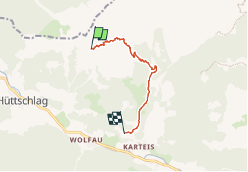

8,8 km | 23 km-effort


Tous les sentiers balisés d’Europe GUIDE+


Application GPS de randonnée GRATUITE
 SityTrail
IGN / Instituts géographiques
SityTrail World
Le monde est à vous
Randonnée A pied de 3,8 km à découvrir à Salzbourg, Bezirk St. Johann im Pongau, Hüttschlag. Cette randonnée est proposée par SityTrail - itinéraires balisés pédestres.
Randonnée créée par TVB Großarltal.
http://wiki.openstreetmap.org/wiki/WikiProject_Austria/Wanderwege
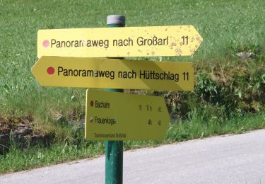
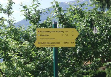
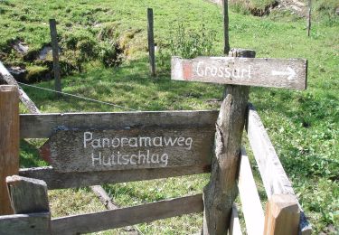
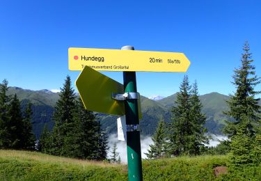
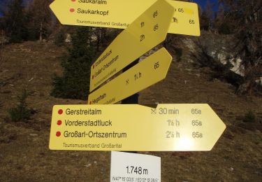
Symbole: rot-weiss-rot 55a


A pied
A pied
A pied
A pied
A pied
A pied
A pied
A pied
A pied