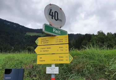
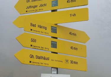
16,6 km | 27 km-effort
Wanderweg 3 - Söll
SityTrail - itinéraires balisés pédestres
Tous les sentiers balisés d’Europe GUIDE+
Longueur
4,5 km
Altitude max
703 m
Dénivelé positif
30 m
Km-Effort
5,3 km
Altitude min
569 m
Dénivelé négatif
155 m
Boucle
Non
Balise
Date de création :
2022-02-16 16:24:41.346
Dernière modification :
2022-03-03 07:47:15.942
1h12
Difficulté : Facile
Application GPS de randonnée GRATUITE
À propos
Randonnée A pied de 4,5 km à découvrir à Tyrol, Bezirk Kitzbühel, Gemeinde Itter. Cette randonnée est proposée par SityTrail - itinéraires balisés pédestres.
Localisation
Pays :
Autriche
Région :
Tyrol
Département/Province :
Bezirk Kitzbühel
Commune :
Gemeinde Itter
Localité :
Unknown
Départ:(Dec)
Départ:(UTM)
284781 ; 5261407 (33T) N.
Commentaires
Randonnées à proximité
Wanderweg 60 - Pölvenrundweg
A pied
Moyen
Gemeinde Bad Häring,
Tyrol,
Bezirk Kufstein,
Autriche
6h 10min
Oui
Wanderweg 7 - Söll
A pied
Facile
Gemeinde Söll,
Tyrol,
Bezirk Kufstein,
Autriche
3 km | 3,6 km-effort
48min
Non
Mühltalrundweg
A pied
Facile
Gemeinde Kirchbichl,
Tyrol,
Bezirk Kufstein,
Autriche
4 km | 5,5 km-effort
1h 15min
Non
Themenweg "Kohle-Bergbau"
A pied
Facile
Gemeinde Bad Häring,
Tyrol,
Bezirk Kufstein,
Autriche
5,2 km | 8,2 km-effort
1h 51min
Oui
Prof. Rudolf Sinwel Steig - Pölven
A pied
Facile
Gemeinde Bad Häring,
Tyrol,
Bezirk Kufstein,
Autriche
5,2 km | 16 km-effort
3h 38min
Non
La croix la hutte et les oiseaux Auffach 2024
Marche
Moyen
Gemeinde Wildschönau,
Tyrol,
Bezirk Kufstein,
Autriche
17,1 km | 35 km-effort
Inconnu
Non
KAT Walk Compact Day 1.gpx
Marche
Moyen
Marktgemeinde Hopfgarten im Brixental,
Tyrol,
Bezirk Kitzbühel,
Autriche
15,1 km | 31 km-effort
6h 17min
Non
kat walk kompakt
Marche
Moyen
Marktgemeinde Hopfgarten im Brixental,
Tyrol,
Bezirk Kitzbühel,
Autriche
78 km | 145 km-effort
Inconnu
Non