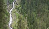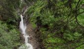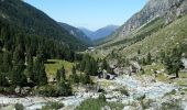

Gletscherlehrweg Obersulzbachtal
SityTrail - itinéraires balisés pédestres
Tous les sentiers balisés d’Europe GUIDE+

Longueur
10,6 km

Altitude max
2208 m

Dénivelé positif
887 m

Km-Effort
19,5 km

Altitude min
1336 m

Dénivelé négatif
33 m
Boucle
Non
Balise
Date de création :
2022-02-16 16:22:11.499
Dernière modification :
2022-03-03 06:32:14.301
4h26
Difficulté : Facile

Application GPS de randonnée GRATUITE
À propos
Randonnée A pied de 10,6 km à découvrir à Salzbourg, Bezirk Zell am See, Marktgemeinde Neukirchen am Großvenediger. Cette randonnée est proposée par SityTrail - itinéraires balisés pédestres.
Description
Randonnée créée par Nationalpark Hohe Tauern.
Localisation
Pays :
Autriche
Région :
Salzbourg
Département/Province :
Bezirk Zell am See
Commune :
Marktgemeinde Neukirchen am Großvenediger
Localité :
Unknown
Départ:(Dec)
Départ:(UTM)
292597 ; 5229977 (33T) N.
Commentaires
Randonnées à proximité
St. Pöltner Ostweg


A pied
Difficile
Marktgemeinde Matrei in Osttirol,
Tyrol,
Bezirk Lienz,
Autriche

17,5 km | 34 km-effort
7h 46min
Non
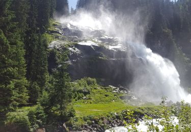
Wanderweg 543


A pied
Facile
Krimml,
Salzbourg,
Bezirk Zell am See,
Autriche

5,1 km | 9,5 km-effort
2h 9min
Non
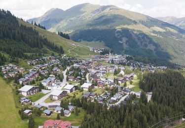
Zillertal Arena Runde 6


A pied
Facile
Gemeinde Wald im Pinzgau,
Salzbourg,
Bezirk Zell am See,
Autriche

3,8 km | 6,5 km-effort
1h 29min
Non

Zillertal Arena Runde 5


A pied
Facile
Gemeinde Wald im Pinzgau,
Salzbourg,
Bezirk Zell am See,
Autriche

3,8 km | 6,5 km-effort
1h 29min
Non
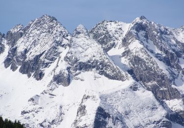
Wasserfall-Trail


A pied
Facile
Gemeinde Gerlos,
Tyrol,
Bezirk Schwaz,
Autriche

5,7 km | 7,7 km-effort
1h 44min
Non
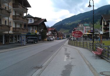
Wanderweg 7a - Gerlos


A pied
Facile
Gemeinde Gerlos,
Tyrol,
Bezirk Schwaz,
Autriche

3,2 km | 4,4 km-effort
59min
Non
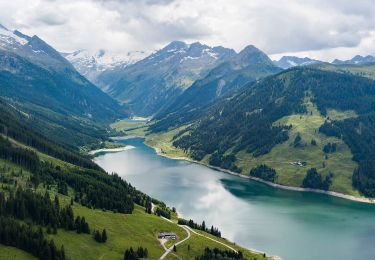
Wanderweg 4 - Gerlos


A pied
Facile
Gemeinde Gerlos,
Tyrol,
Bezirk Schwaz,
Autriche

4,4 km | 7 km-effort
1h 35min
Non
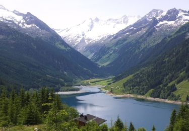
Stauseerunde


A pied
Facile
Krimml,
Salzbourg,
Bezirk Zell am See,
Autriche

6,3 km | 8,5 km-effort
1h 55min
Non
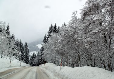
Innertal-Runde


A pied
Facile
Gemeinde Gerlos,
Tyrol,
Bezirk Schwaz,
Autriche

3,2 km | 3,6 km-effort
49min
Non


 SityTrail


