


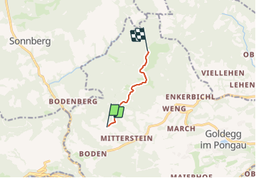

3,5 km | 6,9 km-effort

Tous les sentiers balisés d’Europe GUIDE+


Application GPS de randonnée GRATUITE
 SityTrail
IGN / Instituts géographiques
SityTrail World
Le monde est à vous
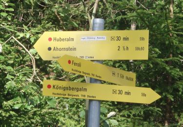
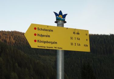
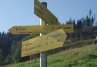
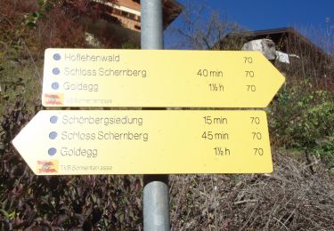
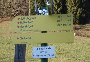
Randonnée A pied de 4,2 km à découvrir à Salzbourg, Bezirk St. Johann im Pongau, Goldegg. Cette randonnée est proposée par SityTrail - itinéraires balisés pédestres.
Randonnée créée par TVB Goldegg.
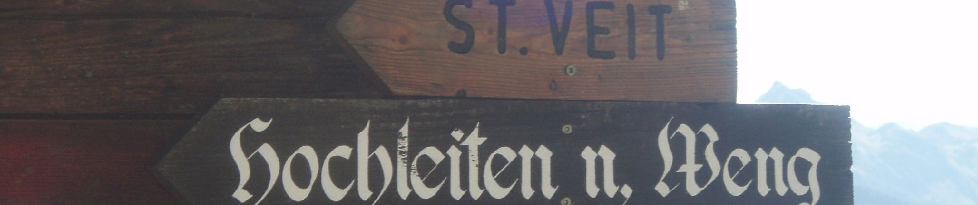
Symbole: rot-weiss-rot 10


A pied
A pied
A pied
A pied
A pied
A pied
A pied
A pied
A pied