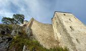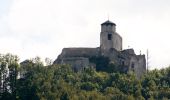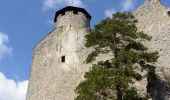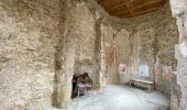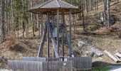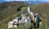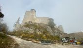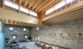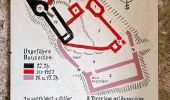

Wittmann (Ramsaubach) - Mariental - Araburg
SityTrail - itinéraires balisés pédestres
Tous les sentiers balisés d’Europe GUIDE+

Longueur
5,1 km

Altitude max
788 m

Dénivelé positif
320 m

Km-Effort
8,4 km

Altitude min
495 m

Dénivelé négatif
32 m
Boucle
Non
Balise
Date de création :
2022-02-16 16:12:50.775
Dernière modification :
2022-03-03 04:11:02.874
1h54
Difficulté : Facile

Application GPS de randonnée GRATUITE
À propos
Randonnée A pied de 5,1 km à découvrir à Basse-Autriche, Bezirk Lilienfeld, Gemeinde Ramsau. Cette randonnée est proposée par SityTrail - itinéraires balisés pédestres.
Description
Randonnée créée par Österreichischer Touristenklub, Sektion Triestingtal.
Symbole: blauer, waagrechter Balken
Localisation
Pays :
Autriche
Région :
Basse-Autriche
Département/Province :
Bezirk Lilienfeld
Commune :
Gemeinde Ramsau
Localité :
Unknown
Départ:(Dec)
Départ:(UTM)
561723 ; 5315172 (33T) N.
Commentaires
Randonnées à proximité
Staffbrücke - Staffgraben - Kieneck (Enzianhütte)


A pied
Facile
Gemeinde Furth an der Triesting,
Basse-Autriche,
Bezirk Baden,
Autriche

5,9 km | 8,3 km-effort
1h 53min
Non
Kaumberg - Araburg - Kollmannhof - Brennhof - zurück


A pied
Facile
Gemeinde Hainfeld,
Basse-Autriche,
Bezirk Lilienfeld,
Autriche

8,7 km | 13,2 km-effort
2h 59min
Oui

Ramsau - Kruckensattel - Salzabad


A pied
Facile
Gemeinde Ramsau,
Basse-Autriche,
Bezirk Lilienfeld,
Autriche

6,9 km | 10,6 km-effort
2h 24min
Non

Geo-Dendro-Pfad Ramsau


A pied
Facile
Gemeinde Ramsau,
Basse-Autriche,
Bezirk Lilienfeld,
Autriche

4,2 km | 7 km-effort
1h 34min
Oui

Thal - Bettelmannkreuz - Ramsau


A pied
Facile
Gemeinde Ramsau,
Basse-Autriche,
Bezirk Lilienfeld,
Autriche

7,3 km | 13,4 km-effort
3h 2min
Non


 SityTrail


