![](/images/other/stat-length.png)
![Randonnée A pied Gamlitz - Sulztaler Rundweg - Photo](https://media.geolcdn.com/t/1900/400/39dd7879-8932-4def-b98f-67f275659118.jpeg&format=pjpeg&maxdim=2)
Sulztaler Rundweg
SityTrail - itinéraires balisés pédestres
Tous les sentiers balisés d’Europe GUIDE+
![Longueur](/images/other/stat-length.png)
![Altitude max](https://static1.geolcdn.com/siteimages/upload/files/1508320355ic_sort_altitude_max_24dp.png)
![Dénivelé positif](https://static1.geolcdn.com/siteimages/upload/files/1508320355ic_sort_den_pos_24dp.png)
![Km-Effort](/images/other/stat-length.png)
![Altitude min](https://static1.geolcdn.com/siteimages/upload/files/1508320355ic_sort_altitude_min_24dp.png)
![Dénivelé négatif](https://static1.geolcdn.com/siteimages/upload/files/1508320355ic_sort_den_neg_24dp.png)
![Boucle](https://static1.geolcdn.com/siteimages/upload/files/16400158638029165_repeat_loop_refresh_sync_direction_icon.png)
![A pied](https://static1.geolcdn.com/sitytour/trail-icons/100.png)
1h57
Difficulté : Facile
![Scannez ce code QR pour ouvrir la randonnée dans l'application SityTrail](https://capi.geolives.com/qq0zvz2zws4bq2lad0pu/sitytour/trails/3126112/qr.png?size=200)
Application GPS de randonnée GRATUITE
À propos
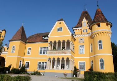
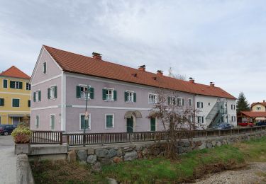
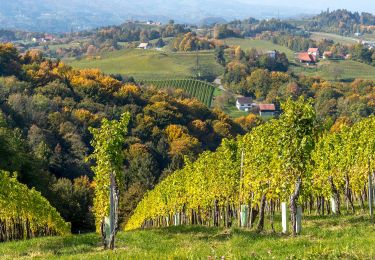
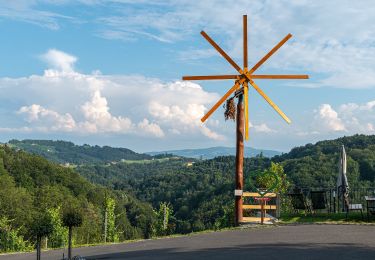
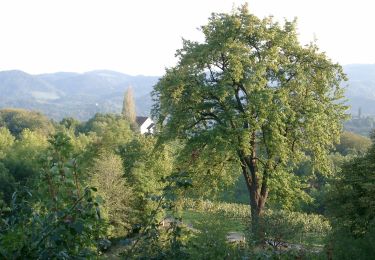
Randonnée A pied de 5,6 km à découvrir à Styrie, Bezirk Leibnitz, Gamlitz. Cette randonnée est proposée par SityTrail - itinéraires balisés pédestres.
Description
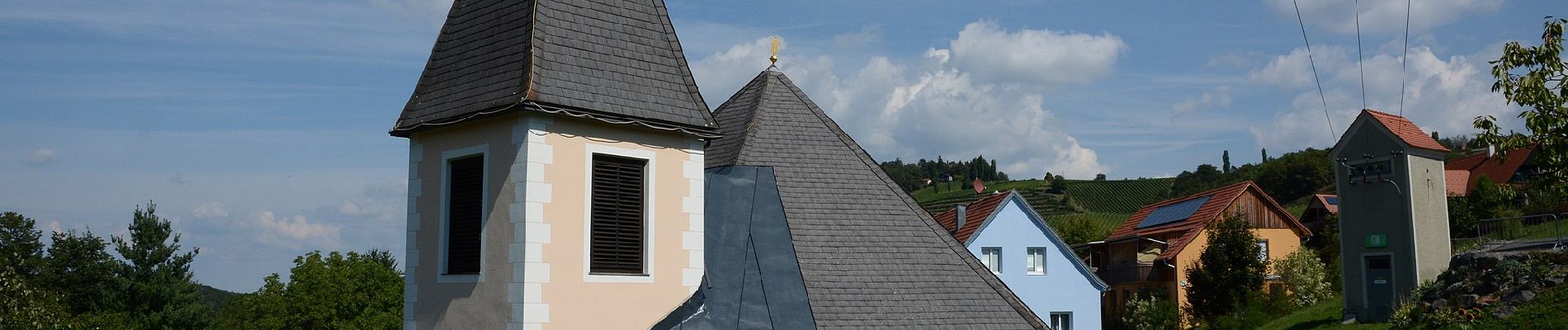
Erlebe die Südsteiermark und entdecke Events, Geheimtipps, kulinarische Highlight, die südsteirischen Weinstraßen und unsere Unterkünfte! Urlaub gleich hier online buchen!
Site web: https://www.suedsteirischeweinstrasse.at/uploads/media/sulztal.pdf
Localisation
Commentaires
Randonnées à proximité
![Randonnée A pied Ehrenhausen an der Weinstraße - Berghausen 1 - Photo](https://media.geolcdn.com/t/375/260/74815bba-e24d-4ad5-9cfc-9c7a0b388939.jpeg&format=jpg&maxdim=2)
![A pied A pied](https://static1.geolcdn.com/sitytour/trail-icons/100.png)
A pied
![](/images/other/stat-length.png)
![](https://static1.geolcdn.com/siteimages/upload/files/16400158638029165_repeat_loop_refresh_sync_direction_icon.png)
![Randonnée A pied Ehrenhausen an der Weinstraße - Ehrenhausen 1 - Photo](https://media.geolcdn.com/t/375/260/4aae38a0-c3b6-4f3a-939c-d40c3c3416c5.jpeg&format=jpg&maxdim=2)
![A pied A pied](https://static1.geolcdn.com/sitytour/trail-icons/100.png)
A pied
![](/images/other/stat-length.png)
![](https://static1.geolcdn.com/siteimages/upload/files/16400158638029165_repeat_loop_refresh_sync_direction_icon.png)
![Randonnée A pied Ehrenhausen an der Weinstraße - Ehrenhausen 2 - Photo](https://media.geolcdn.com/t/375/260/e5d71411-2f0d-4292-8ff2-c008b6f49357.jpeg&format=jpg&maxdim=2)
![A pied A pied](https://static1.geolcdn.com/sitytour/trail-icons/100.png)
A pied
![](/images/other/stat-length.png)
![](https://static1.geolcdn.com/siteimages/upload/files/16400158638029165_repeat_loop_refresh_sync_direction_icon.png)
![Randonnée A pied Ehrenhausen an der Weinstraße - Ehrenhausen 4 - Photo](https://media.geolcdn.com/t/375/260/b19dbf09-8ef0-4f6f-bff2-cfaf3f20d6fe.jpeg&format=jpg&maxdim=2)
![A pied A pied](https://static1.geolcdn.com/sitytour/trail-icons/100.png)
A pied
![](/images/other/stat-length.png)
![](https://static1.geolcdn.com/siteimages/upload/files/16400158638029165_repeat_loop_refresh_sync_direction_icon.png)
![Randonnée A pied Ehrenhausen an der Weinstraße - Natur-Kultur-Archäologie-Weg - Photo](https://media.geolcdn.com/t/375/260/e32fdd88-ded1-4bfe-9de9-de8e0a429387.jpeg&format=jpg&maxdim=2)
![A pied A pied](https://static1.geolcdn.com/sitytour/trail-icons/100.png)
A pied
![](/images/other/stat-length.png)
![](https://static1.geolcdn.com/siteimages/upload/files/16400158638029165_repeat_loop_refresh_sync_direction_icon.png)
![Randonnée A pied Ehrenhausen an der Weinstraße - Welschlauf Südsteiermark - Photo](https://media.geolcdn.com/t/375/260/19c45851-bd56-49f2-a671-0bafde2a43cb.jpeg&format=jpg&maxdim=2)
![A pied A pied](https://static1.geolcdn.com/sitytour/trail-icons/100.png)
A pied
![](/images/other/stat-length.png)
![](https://static1.geolcdn.com/siteimages/upload/files/16400158638029165_repeat_loop_refresh_sync_direction_icon.png)
![Randonnée A pied Leutschach an der Weinstraße - Glanzer Weintour - Photo](https://media.geolcdn.com/t/375/260/ebcda85f-c5ff-45b8-918b-ffd2237e0a68.jpeg&format=jpg&maxdim=2)
![A pied A pied](https://static1.geolcdn.com/sitytour/trail-icons/100.png)
A pied
![](/images/other/stat-length.png)
![](https://static1.geolcdn.com/siteimages/upload/files/16400158638029165_repeat_loop_refresh_sync_direction_icon.png)
![Randonnée A pied Gamlitz - Über Stock und Wein - Photo](https://media.geolcdn.com/t/375/260/6e2a712f-8e73-441c-9542-06cc57e67785.jpeg&format=jpg&maxdim=2)
![A pied A pied](https://static1.geolcdn.com/sitytour/trail-icons/100.png)
A pied
![](/images/other/stat-length.png)
![](https://static1.geolcdn.com/siteimages/upload/files/16400158638029165_repeat_loop_refresh_sync_direction_icon.png)
![Randonnée A pied Leutschach an der Weinstraße - Kulinarische Weinberg-Wanderung - Photo](https://media.geolcdn.com/t/375/260/a8585342-78fd-41ad-a1b9-9448d8c705fe.jpeg&format=jpg&maxdim=2)
![A pied A pied](https://static1.geolcdn.com/sitytour/trail-icons/100.png)
A pied
![](/images/other/stat-length.png)
![](https://static1.geolcdn.com/siteimages/upload/files/16400158638029165_repeat_loop_refresh_sync_direction_icon.png)