


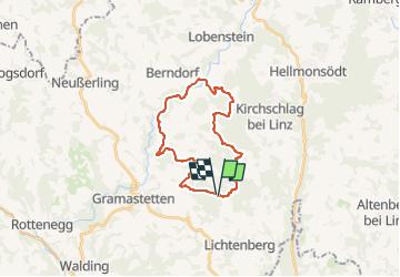

5,1 km | 6,8 km-effort

Tous les sentiers balisés d’Europe GUIDE+


Application GPS de randonnée GRATUITE
 SityTrail
IGN / Instituts géographiques
SityTrail World
Le monde est à vous
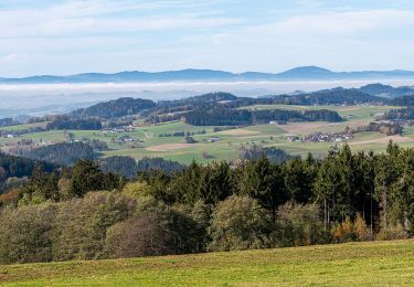
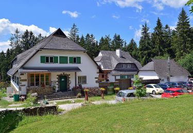
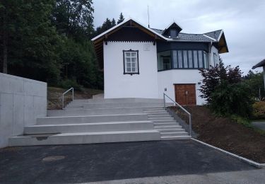
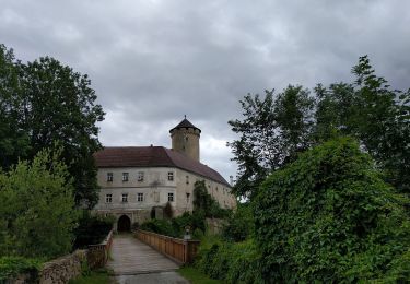
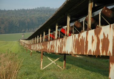
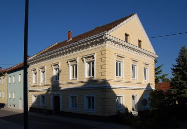
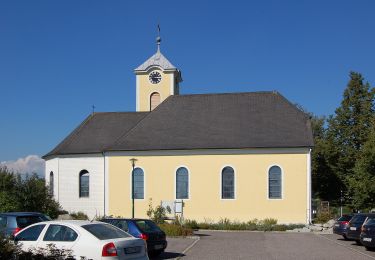
Randonnée A pied de 21 km à découvrir à Haute-Autriche, Bezirk Urfahr-Umgebung, Eidenberg. Cette randonnée est proposée par SityTrail - itinéraires balisés pédestres.
Randonnée créée par Gemeinde Eidenberg.
http://wiki.openstreetmap.org/wiki/WikiProject_Austria/Wanderwege
Symbole: purple-red


A pied
A pied
A pied
A pied
A pied
A pied
A pied
A pied
A pied