


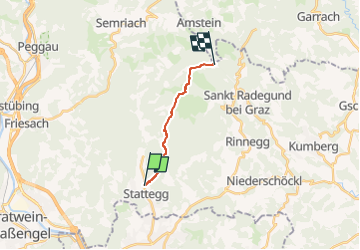


5,2 km | 7,5 km-effort

Tous les sentiers balisés d’Europe GUIDE+


Application GPS de randonnée GRATUITE
 SityTrail
IGN / Instituts géographiques
SityTrail World
Le monde est à vous
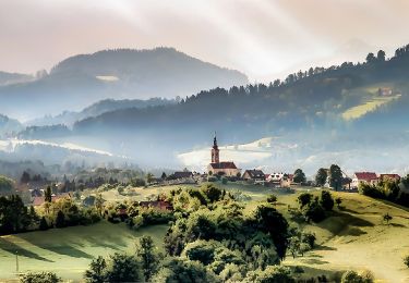
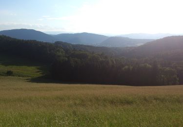
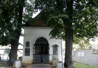
Randonnée A pied de 8,9 km à découvrir à Styrie, Bezirk Graz-Umgebung, Stattegg. Cette randonnée est proposée par SityTrail - itinéraires balisés pédestres.
Randonnée créée par Österreichischer Alpenverein, Sektion Graz.
http://wiki.openstreetmap.org/wiki/WikiProject_Austria/Wanderwege
Symbole: rot-weiss-rot mit schwarzer Zahl 20 im weissen Streifen
A pied


A pied