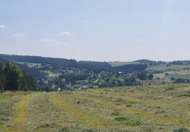
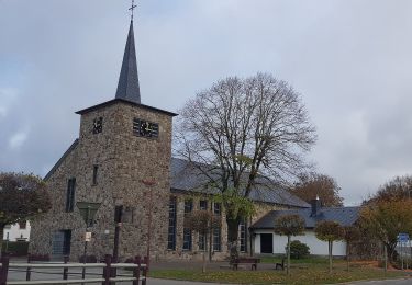
Randonnée Marche Saint-Vith - RB-PN-07B - Schönberg - Variante - Photo

RB-PN-07B - Schönberg - Variante

Randonnez sur et autour des GR ® wallons (Sentiers de Grande Randonnée). PRO

© OpenStreetMap contributors
Longueur
Longueur
21 km
Altitude max
Altitude max
599 m
Dénivelé positif
Dénivelé positif
527 m
Km-Effort
Km-Effort  
28 km
Altitude min
Altitude min
421 m
Dénivelé négatif
Dénivelé négatif
528 m
Boucle
Boucle
Oui
Date de création :
2022-02-16 08:06:18.421
Dernière modification :
2022-02-16 08:06:49.363

(1 Avis)

Marche
Marche
6h25
Difficulté : Très difficile

Scannez ce code QR pour ouvrir la randonnée dans l'application SityTrail

Application GPS de randonnée GRATUITE

Logo SityTrail SityTrail

IGN / Instituts géographiques

Télécharger SityTrail sur l'App Store Télécharger SityTrail sur Google Play

Logo SityTrail SityTrail World

Le monde est à vous

Télécharger SityTrail sur l'App Store Télécharger SityTrail sur Google Play Télécharger SityTrail sur Huawei AppGallery

À propos

Randonnée Marche de 21 km à découvrir à Wallonie, Liège, Saint-Vith. Cette randonnée est proposée par GR Rando.

Photos

Points d'intérêt

Point d'intérêt Bullange - Croix d'occis - Photo
GR Rando
BULLANGE 
Point d'intérêt Bullange - Eimerscheid - Photo
GR Rando
BULLANGE 
Point d'intérêt Amblève - Natagora - Photo
GR Rando
AMBLÈVE 
Point d'intérêt Amblève - Robustrinder - Photo
GR Rando
AMBLÈVE 

Localisation

Pays :
Belgique
Région :
Wallonie
Département/Province :
Liège
Commune :
Saint-Vith
Localité :
Unknown
Départ:(Dec)
Départ:(UTM)
305157 ; 5574378 (32U) N.

Commentaires

Veuillez vous connecter pour laisser un commentaire ou une note


Randonnées à proximité

Randonnée A pied Buchet - Bach-Pfad - Photo
A pied
GUIDE+

A pied

Facile
Buchet, Rhénanie-Palatinat, Eifel-Bitburg-Prüm, Allemagne
4,8 km | 5,9 km-effort
1h 20min
Non
Randonnée Marche Saint-Vith - rando schoenberg 20/07/2021 - Photo
Marche
GUIDE
japy54

Marche

Moyen
Saint-Vith, Wallonie, Liège, Belgique
20 km | 27 km-effort
5h 2min
Oui
Randonnée Raquettes à neige Bullange - Manderfeld (PVDB) - Photo
Raquettes à neige
GUIDE
Peter.vdbergh

Raquettes à neige

Moyen
Bullange, Wallonie, Liège, Belgique
5,3 km | 6,6 km-effort
1h 44min
Non
Randonnée A pied Saint-Vith - Wanderweg 5 - Weberbach - Photo
A pied
GUIDE+

A pied

Facile
Saint-Vith, Wallonie, Liège, Belgique
7,2 km | 9,1 km-effort
2h 4min
Oui
Randonnée Marche Saint-Vith - Alersteg - Photo
Marche
emileverschueren

Marche

Saint-Vith, Wallonie, Liège, Belgique
18,8 km | 25 km-effort
6h 38min
Oui
Randonnée Marche Amblève - Herresbach  - Photo
Marche
emileverschueren

Marche

Facile
Amblève, Wallonie, Liège, Belgique
14,7 km | 19,6 km-effort
5h 39min
Oui
Randonnée Marche Saint-Vith - Alfersteg - incursion en Allemagne - Photo
Marche
emileverschueren

Marche

Saint-Vith, Wallonie, Liège, Belgique
25 km | 33 km-effort
6h 48min
Oui
Randonnée Marche Saint-Vith - Alfteg Ihren - Photo
Marche
emileverschueren

Marche

Saint-Vith, Wallonie, Liège, Belgique
18,7 km | 25 km-effort
6h 47min
Oui
Randonnée Marche Amblève - Herresbach Emile - Photo
Marche
emileverschueren

Marche

Amblève, Wallonie, Liège, Belgique
16,9 km | 21 km-effort
5h 14min
Oui


Fermer
Mes abonnements